Loading...
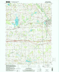
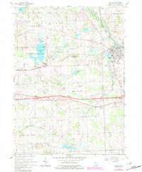
Loading map...1996 Map of Dexter
USGS Topo · Published 2000About this map
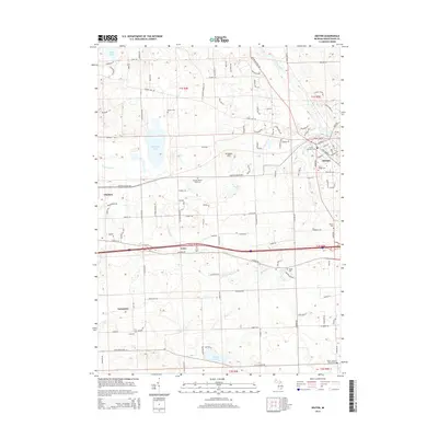
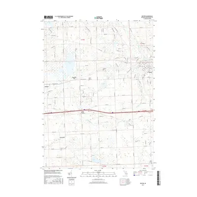
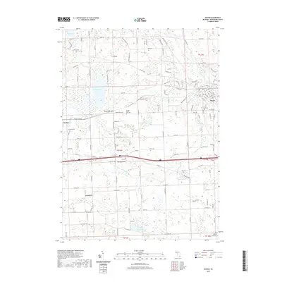
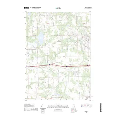
The Huron River and the village of Dexter define this 1996 view of Washtenaw County, where the transition from river valley to agricultural uplands is clearly visible. The landscape is a patchwork of conservation areas and historic hamlets, featuring the Chelsea State Game Area and Hudson Mills Metropolitan Park. Cultural markers such as Lima Center and Jerusalem are documented alongside numerous family and community burial grounds, including St Joseph Cem and Parker Cem.
Find a feature on this map
51 named features on this map. Tap any name to fly to it.
Don’t see what you’re looking for? This feature index may not catch every label — zoom into the map to look around manually.
Map Details
Date Portrayed1996
Date Published2000
PublisherU.S. Geological Survey
Map TypeTopographic
Scale1:24,000
Physical Dimensions21.9 x 26.9 inches
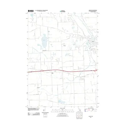
Editions of this 1996 Dexter Map
This is the sole edition of this map. No revisions or reprints were ever made.
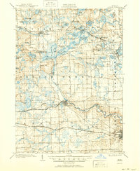
Historical Maps of Scio Township Through Time
9 maps found

Featured Locations
Source Details
SourceU.S. Geological Survey
CopyrightPublic Domain