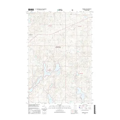
2015 Map of Diamond Lake
USGS Topo · Published 2015About this map
The town of Drummond serves as a gateway to the dense woodlands of the Chequamegon National Forest, where a complex network of glacial kettle lakes and wetlands defines the northern Wisconsin landscape. Water is the primary feature of this terrain, ranging from the sprawling, multi-lobed Lake Owen and the centrally located Diamond Lake to smaller, distinct bodies like Sugar Bush Lake and Beer Lick Lake. The map reveals an intricate system of forest service roads, such as FR 212 and FR 404, which provide access to remote areas like Eighteenmile Creek Springs and Johnson Springs. This 2015 survey illustrates how the region remains largely dedicated to conservation and seasonal recreation, with many lakes accessible only by these unpaved routes, while the path of Old 63 S hints at earlier transportation corridors through the timberland.
Find a feature on this map
65 named features on this map. Tap any name to fly to it.
Don’t see what you’re looking for? This feature index may not catch every label — zoom into the map to look around manually.
Map Details
Editions of this 2015 Diamond Lake Map
This is the sole edition of this map. No revisions or reprints were ever made.
Other maps of this area

1943 · Namekagon Lake
USGS Topo · 1:48,000

1944 · Drummond
USGS Topo · 1:48,000

1944 · Grandview
USGS Topo · 1:48,000

1944 · Hayward
USGS Topo · 1:48,000

1945 · Namekagon Lake
USGS Topo · 1:48,000

1947 · Drummond
USGS Topo · 1:48,000

1947 · Grandview
USGS Topo · 1:48,000

1953 · Ashland
USGS Topo · 1:250,000

1958 · Ashland
USGS Topo · 1:250,000
1971 · Delta
USGS Topo · 1:24,000