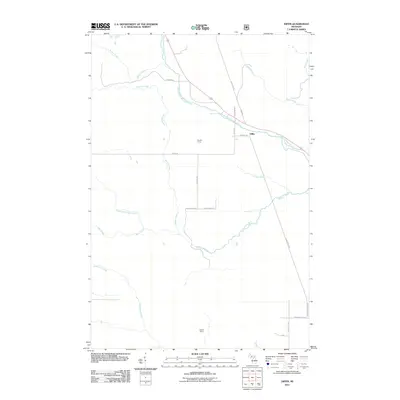
2011 Map of Diffin
USGS Topo · Published 2011About this map
Diffin sits at the convergence of several rural thoroughfares in the Upper Peninsula, marking a point of human settlement amidst a dense network of tributaries. The hydrology of this area is dominated by the West-Branch Whitefish River, which passes over Whitefish Falls near the center of the sheet. The landscape is characterized by its numerous logging or recreational outposts, such as Mantila Camp and Hughitt Camp, which speak to the region's long-standing connection to the timber industry and outdoor lifestyle. An intricate drainage system including Werners Creek, McAfee Creek, and Sucker Creek feeds into the primary river systems. The transportation network is defined by routes like Whitefish Grade Rd, following the natural paths carved by these waterways through the northern Michigan wilderness.
Find a feature on this map
28 named features on this map. Tap any name to fly to it.
Don’t see what you’re looking for? This feature index may not catch every label — zoom into the map to look around manually.
Map Details
Editions of this 2011 Diffin Map
This is the sole edition of this map. No revisions or reprints were ever made.
Other maps of this area

1932 · Skandia SW
USGS Topo · 1:31,680

1932 · Rock SW
USGS Topo · 1:31,680

1932 · Trenary SW
USGS Topo · 1:31,680

1932 · Rock NE
USGS Topo · 1:31,680

1932 · Skandia SE
USGS Topo · 1:31,680

1932 · Rock SE
USGS Topo · 1:31,680

1932 · Rock NW
USGS Topo · 1:31,680

1958 · Trenary
USGS Topo · 1:62,500

1958 · Au Train
USGS Topo · 1:62,500

1958 · Skandia
USGS Topo · 1:62,500