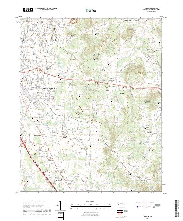
2022 Map of Dillton
USGS Topo · Published 2022About this map
Middle Tennessee State University anchors the northwestern corner of this Rutherford County landscape, representing a significant educational hub within the expanding footprint of Murfreesboro. The terrain transitions from dense suburban street networks in the west toward a more dispersed, rural character to the east, where the Flat Rock Cedar Glade And Barrens State Natural Area preserves a distinct ecological environment. This area is characterized by thin soils and limestone outcroppings, a pattern that likely influenced the historical placement of the many family burial grounds that dot the landscape.
Find a feature on this map
226 named features on this map. Tap any name to fly to it.
Don’t see what you’re looking for? This feature index may not catch every label — zoom into the map to look around manually.
Map Details
Editions of this 2022 Dillton Map
This is the sole edition of this map. No revisions or reprints were ever made.
Other maps of this area

1908 · Woodbury
USGS Topo · 1:62,500

1913 · Hollow Springs
USGS Topo · 1:62,500

1916 · Murfreesboro
USGS Topo · 1:62,500

1936 · Webbs Jungle
USGS Topo · 1:24,000

1936 · Beech Grove
USGS Topo · 1:24,000

1936 · Fosterville
USGS Topo · 1:24,000

1942 · Statesville
USGS Topo · 1:100,000

1942 · Lebanon
USGS Topo · 1:100,000

1943 · Mc Minnville
USGS Topo · 1:100,000

1944 · Shelbyville
USGS Topo · 1:100,000