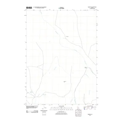
2010 Map of Dishpan
USGS Topo · Published 2010About this map
Dishpan sits at the convergence of high-desert plateaus and deep riparian incisions in this 2010 study of Owyhee County. The landscape is defined by the Jarbidge River and its East Fork, which carve through the prominent Jarbidge Canyon to the east. These waterways contrast sharply with the flat expanse of Columbet Table, illustrating the dramatic verticality of the Idaho high desert. Water management in this arid environment is evident through features like the Cowan Ditch, which feeds into Wilson Lake and Idaho Lake near the confluence of Columbet Creek. The presence of established 4WD trails and local ranching infrastructure around Buck Creek and Rattlesnake Creek highlights how this remote geography is navigated and utilized for modern land use.
Find a feature on this map
11 named features on this map. Tap any name to fly to it.
Don’t see what you’re looking for? This feature index may not catch every label — zoom into the map to look around manually.
Map Details
Editions of this 2010 Dishpan Map
This is the sole edition of this map. No revisions or reprints were ever made.
Other maps of this area

1936 · Rowland
USGS Topo · 1:48,000

1940 · Rowland
USGS Topo · 1:62,500

1943 · Jarbidge
USGS Topo · 1:62,500

1945 · Jarbidge
USGS Topo · 1:62,500

1955 · Twin Falls
USGS Topo · 1:250,000

1955 · Wells
USGS Topo · 1:250,000

1958 · Wells
USGS Topo · 1:250,000

1958 · Twin Falls
USGS Topo · 1:250,000

1961 · Wells
USGS Topo · 1:250,000

1978 · The Arch
USGS Topo · 1:24,000