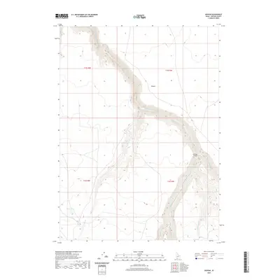
2020 Map of Dishpan
USGS Topo · Published 2020About this map
The high desert landscape of Owyhee County is dominated by the deep incisions of the Jarbidge River and its primary tributaries. This 2020 survey illustrates the dramatic topography of Jarbidge Canyon, where the main river and the E Fork Jarbidge River converge amidst a network of high plateaus. The map details a remote region characterized by seasonal water sources and significant elevation changes, from the canyon floors to the upland basins where Idaho Lake and Wilson Lake are situated.
Find a feature on this map
13 named features on this map. Tap any name to fly to it.
Don’t see what you’re looking for? This feature index may not catch every label — zoom into the map to look around manually.
Map Details
Editions of this 2020 Dishpan Map
This is the sole edition of this map. No revisions or reprints were ever made.
Other maps of this area

1936 · Rowland
USGS Topo · 1:48,000

1940 · Rowland
USGS Topo · 1:62,500

1943 · Jarbidge
USGS Topo · 1:62,500

1945 · Jarbidge
USGS Topo · 1:62,500

1955 · Twin Falls
USGS Topo · 1:250,000

1955 · Wells
USGS Topo · 1:250,000

1958 · Wells
USGS Topo · 1:250,000

1958 · Twin Falls
USGS Topo · 1:250,000

1961 · Wells
USGS Topo · 1:250,000

1978 · The Arch
USGS Topo · 1:24,000