2024 Map of Dixie
USGS Topo · Published 2024About this map
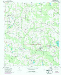
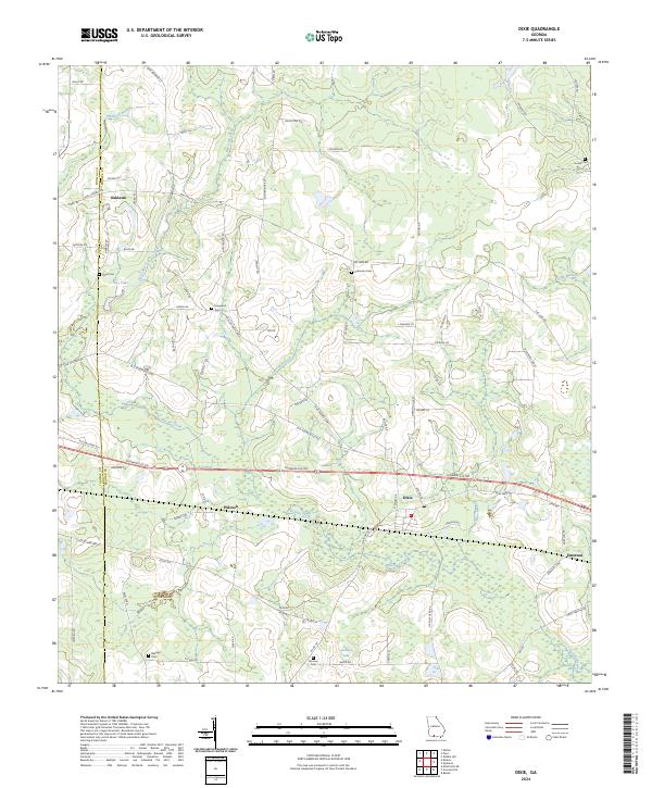
Piscola Creek and its various tributaries, including Carroll Branch and Allen Branch, define the hydrology of this South Georgia landscape along the border of Thomas and Brooks counties. Small rural settlements like Dixie, Oaklawn, and Pidcock are centers of community life, connected by a network of local roads such as Dixie Barwick St and Old Thomasville Rd. The area is notably dense with small family or community burial grounds, including Evergreen Cem, Ozell Cem, and Hunter Cem, which provide significant genealogical touchstones for the region.
Find a feature on this map
86 named features on this map. Tap any name to fly to it.
Don’t see what you’re looking for? This feature index may not catch every label — zoom into the map to look around manually.
Map Details
Editions of this 2024 Dixie Map
This is the sole edition of this map. No revisions or reprints were ever made.