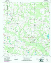
1978 Map of Dixie
USGS Topo · Published 1987About this map
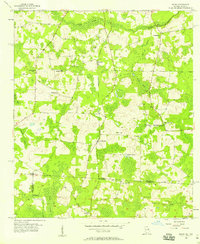
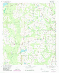
Piscola Creek and its various tributaries, including Carroll Branch and Allen Branch, define the rural landscape of this Brooks and Thomas County border region. The settlement of Dixie serves as a local hub along the CSX railroad line, featuring the Westbrook High Sch and a nearby substation. The map reveals a deeply established community structure through its numerous rural congregations and burial grounds, such as Beulah Hill Ch, Friendship Ch, and the Hunter Cem.
Find a feature on this map
34 named features on this map. Tap any name to fly to it.
Don’t see what you’re looking for? This feature index may not catch every label — zoom into the map to look around manually.
Map Details
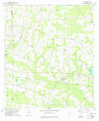
Editions of this 1978 Dixie Map
2 editions found
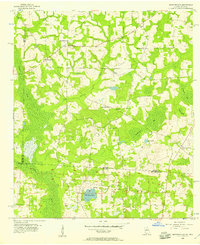
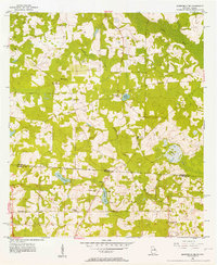
Other maps of this area

1954 · Valdosta
USGS Topo · 1:250,000
1956 · Grooverville
USGS Topo · 1:24,000
1956 · Monticello NE
USGS Topo · 1:24,000
1956 · Baden
USGS Topo · 1:24,000
1957 · Thomasville
USGS Topo · 1:62,500

1958 · Valdosta
USGS Topo · 1:250,000

1959 · Valdosta
USGS Topo · 1:250,000
1961 · Quitman
USGS Topo · 1:62,500
1974 · Quitman
USGS Topo · 1:24,000
1975 · Pebble Hill
USGS Topo · 1:24,000