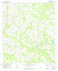
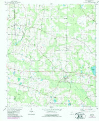
1978 Map of Dixie
USGS Topo · Published 1978About this map
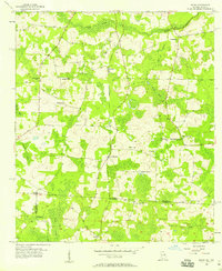
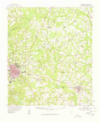
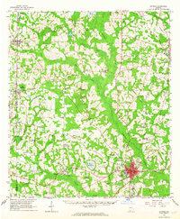
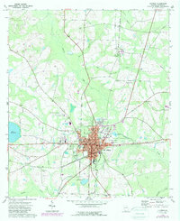
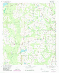
Dixie serves as the focal point of this South Georgia landscape during the late 1970s, situated along the Seaboard Coast Line railroad. This map reveals a community deeply rooted in its religious and educational institutions, featuring numerous rural churches such as Beulah Hill Ch, Simmon Hill Ch, and Ham City Ch. The presence of the County Training Sch and Westbrook High Sch near the town center underscores the local investment in schooling during this period. The terrain is defined by the winding course of Piscola Creek and Carroll Branch, with agricultural and woodland patterns punctuated by small settlements like Pideock and the distinctive geological area known as The Sinks. From the Robinson Cem to the Hunter Cem, family and community burial grounds are scattered throughout, providing a valuable record of local genealogy and land ownership.
Find a feature on this map
33 named features on this map. Tap any name to fly to it.
Don’t see what you’re looking for? This feature index may not catch every label — zoom into the map to look around manually.
Map Details
Editions of this 1978 Dixie Map
2 editions found
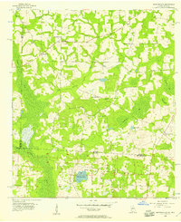
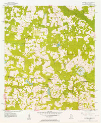
Other maps of this area

1954 · Valdosta
USGS Topo · 1:250,000
1956 · Grooverville
USGS Topo · 1:24,000
1956 · Monticello NE
USGS Topo · 1:24,000
1956 · Baden
USGS Topo · 1:24,000
1957 · Thomasville
USGS Topo · 1:62,500

1958 · Valdosta
USGS Topo · 1:250,000

1959 · Valdosta
USGS Topo · 1:250,000
1961 · Quitman
USGS Topo · 1:62,500
1974 · Quitman
USGS Topo · 1:24,000
1975 · Pebble Hill
USGS Topo · 1:24,000