
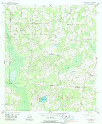
1956 Map of Grooverville
USGS Topo · Published 1957About this map
Grooverville anchors this mid-century landscape where the border between Georgia and Florida is defined by agricultural clearings and wetlands. The settlement pattern is dominated by a network of rural institutions, such as Grooverville Sch and Mt Moriah Sch, alongside numerous community hubs like Elizabeth Ch and New Zion Ch. The terrain transitions from higher cultivated ground in the north to the low-lying basins of the south, where the headwaters of the Aucilla River begin to emerge.
Find a feature on this map
23 named features on this map. Tap any name to fly to it.
Don’t see what you’re looking for? This feature index may not catch every label — zoom into the map to look around manually.
Map Details
Editions of this 1956 Grooverville Map
2 editions found
Other maps of this area

1954 · Valdosta
USGS Topo · 1:250,000

1956 · Monticello NE
USGS Topo · 1:24,000

1956 · Baden
USGS Topo · 1:24,000

1957 · Thomasville
USGS Topo · 1:62,500

1958 · Valdosta
USGS Topo · 1:250,000

1959 · Valdosta
USGS Topo · 1:250,000

1961 · Quitman
USGS Topo · 1:62,500

1962 · Ashville
USGS Topo · 1:24,000
1962 · Hamburg
USGS Topo · 1:24,000
1963 · Monticello
USGS Topo · 1:24,000