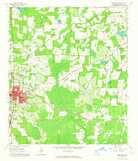
1963 Map of Monticello
USGS Topo · Published 1964About this map
Monticello serves as the focal point of this Jefferson County landscape during the early 1960s, showing a community structured around the Courthouse and the Seaboard Air Line railroad. The town's social fabric is visible through institutions like Howard Academy and the County High Sch, while the outskirts are dotted with family and community landmarks such as Roseland Cem and Sneeds Cem. The survey reveals a rural economy transitioning through the mid-century, where agricultural fields are interspersed with wetlands along Wolf Creek and Hay Pond.
Find a feature on this map
48 named features on this map. Tap any name to fly to it.
Don’t see what you’re looking for? This feature index may not catch every label — zoom into the map to look around manually.
Map Details
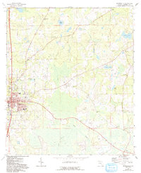
Editions of this 1963 Monticello Map
2 editions found
Other maps of this area

1954 · Greenville
USGS Topo · 1:24,000

1954 · Valdosta
USGS Topo · 1:250,000

1955 · Lamont
USGS Topo · 1:24,000

1955 · Waukeenah
USGS Topo · 1:24,000

1956 · Grooverville
USGS Topo · 1:24,000

1956 · Monticello NE
USGS Topo · 1:24,000

1956 · Metcalf
USGS Topo · 1:24,000

1958 · Valdosta
USGS Topo · 1:250,000

1959 · Valdosta
USGS Topo · 1:250,000

1962 · Ashville
USGS Topo · 1:24,000