
1954 Map of Greenville
USGS Topo · Published 1956About this map
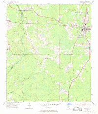
The Aucilla River and its many tributaries, including Little Aucilla River and Wolf Creek, dominate this mid-century landscape on the boundary of Jefferson and Madison Counties. The area is defined by its rural church and cemetery network, serving the communities of Greenville and Aucilla. Small community hubs like New Zion Ch and St Mathews Ch are scattered throughout the pine-heavy terrain, alongside family burial grounds such as Andrews Cem and Hensey Cem.
Find a feature on this map
24 named features on this map. Tap any name to fly to it.
Don’t see what you’re looking for? This feature index may not catch every label — zoom into the map to look around manually.
Map Details
Editions of this 1954 Greenville Map
Other maps of this area

1954 · Greenville NE
USGS Topo · 1:24,000

1954 · Valdosta
USGS Topo · 1:250,000

1955 · Lamont
USGS Topo · 1:24,000

1955 · Shady Grove
USGS Topo · 1:24,000

1955 · Lamont SE
USGS Topo · 1:24,000

1955 · Greenville SE
USGS Topo · 1:24,000

1958 · Valdosta
USGS Topo · 1:250,000

1959 · Valdosta
USGS Topo · 1:250,000

1962 · Ashville
USGS Topo · 1:24,000
1962 · Hamburg
USGS Topo · 1:24,000