
1955 Map of Shady Grove
USGS Topo · Published 1956About this map
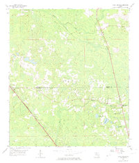
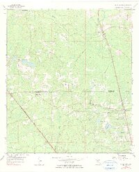
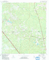
Low-lying cypress and pine terrain defines this corner of the Florida panhandle in the mid-1950s, where the boundary between Madison Co and Taylor Co cuts through a landscape of shallow lakes and drainage basins. Two major rail systems, the Southern and the Atlantic Coast Line, converge in the south, reflecting the area's historical reliance on timber and transport. Small rural communities like Shady Grove and Eridu are connected by unimproved roads that snake between water bodies such as Redwater Lake and Nose Lake. Local social centers are anchored by country institutions, including Shady Grove School and several family-named burial grounds like Tuten Cemetery and Hendry Cemetery. The Econfina River and Alligator Creek weave through the marshy bottomlands, illustrating the complex hydrology that influenced settlement patterns and agriculture in this humid subtropical region.
Find a feature on this map
24 named features on this map. Tap any name to fly to it.
Don’t see what you’re looking for? This feature index may not catch every label — zoom into the map to look around manually.
Map Details
Editions of this 1955 Shady Grove Map
4 editions found
Other maps of this area

1952 · Secotan
USGS Topo · 1:24,000

1954 · Johnson Hammock
USGS Topo · 1:24,000

1954 · Boyd
USGS Topo · 1:24,000

1954 · Secotan
USGS Topo · 1:24,000

1954 · Greenville
USGS Topo · 1:24,000

1954 · Greenville NE
USGS Topo · 1:24,000

1954 · Valdosta
USGS Topo · 1:250,000

1955 · Lamont
USGS Topo · 1:24,000

1955 · Lamont SE
USGS Topo · 1:24,000

1955 · Greenville SE
USGS Topo · 1:24,000