
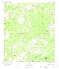
1955 Map of Lamont
USGS Topo · Published 1956About this map
The community of Aucilla and the settlement at Lamont anchor this mid-1950s survey of the north Florida coastal plain. The landscape is defined by the dense wetlands of Gress Swamp and the winding course of the Aucilla River, which forms the boundary between Jefferson and Madison Counties. A network of small country churches and family burial grounds, such as Turkey Scratch Church, Mt Marille Church, and Scruggs Cemetery, are scattered among the timberlands and rural homesteads. The Seaboard Air Line and Atlantic Coast Line railroads intersect the region, reflecting the era's reliance on rail transport for the local agriculture and turpentine industries. Notable landmarks include the Junior High School near Aucilla and several namesake water features like Beasley Creek and Wolf Creek that feed into the river system.
Find a feature on this map
29 named features on this map. Tap any name to fly to it.
Don’t see what you’re looking for? This feature index may not catch every label — zoom into the map to look around manually.
Map Details
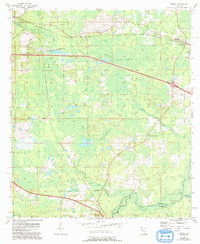
Editions of this 1955 Lamont Map
3 editions found
Other maps of this area

1954 · Greenville
USGS Topo · 1:24,000

1954 · Valdosta
USGS Topo · 1:250,000

1955 · Waukeenah
USGS Topo · 1:24,000

1955 · Shady Grove
USGS Topo · 1:24,000

1955 · Lamont SE
USGS Topo · 1:24,000

1955 · Wacissa
USGS Topo · 1:24,000

1958 · Valdosta
USGS Topo · 1:250,000

1959 · Valdosta
USGS Topo · 1:250,000

1962 · Ashville
USGS Topo · 1:24,000
1963 · Lake Miccosukee
USGS Topo · 1:24,000