
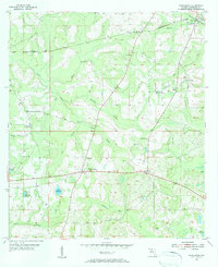
1955 Map of Waukeenah
USGS Topo · Published 1956About this map
The town of Waukeenah serves as a central hub in this mid-century survey of Jefferson County, Florida. Situated south of the Base Line, the landscape is defined by its rural community structure, where numerous local congregations such as Bethel Ch and Sardis Ch served as the primary social anchors. The northern section of the map reveals a critical transportation junction at Drifton, where the Seaboard Air Line and Atlantic Coast Line railroads intersected, facilitating the movement of local timber or agricultural goods through the region.
Find a feature on this map
33 named features on this map. Tap any name to fly to it.
Don’t see what you’re looking for? This feature index may not catch every label — zoom into the map to look around manually.
Map Details
Editions of this 1955 Waukeenah Map
3 editions found
Other maps of this area

1954 · Lloyd
USGS Topo · 1:24,000

1954 · Cody
USGS Topo · 1:24,000

1954 · Valdosta
USGS Topo · 1:250,000

1954 · Tallahassee
USGS Topo · 1:250,000

1955 · Lamont
USGS Topo · 1:24,000

1955 · Lamont SE
USGS Topo · 1:24,000

1955 · Wacissa
USGS Topo · 1:24,000

1958 · Valdosta
USGS Topo · 1:250,000

1959 · Tallahassee
USGS Topo · 1:250,000

1959 · Valdosta
USGS Topo · 1:250,000