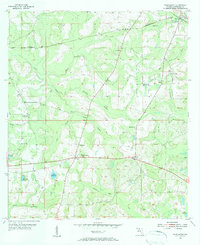
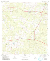
1955 Map of Waukeenah
USGS Topo · Published 1984About this map
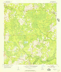
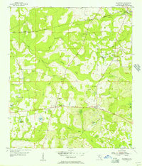
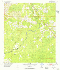
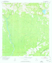
Waukeenah and the surrounding Jefferson County landscape reflect a mid-century agricultural and rail-oriented community defined by its watercourses and small rural gathering places. Two major rail lines intersect the northern reaches of this area, with the Seaboard Air Line and the Atlantic Coast Line passing through the settlement at Drifton. These corridors were vital for moving goods and people across the panhandle, linking remote crossroads like Nash and Capps to larger regional markets.
Find a feature on this map
30 named features on this map. Tap any name to fly to it.
Don’t see what you’re looking for? This feature index may not catch every label — zoom into the map to look around manually.
Map Details
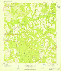
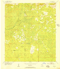
Editions of this 1955 Waukeenah Map
3 editions found
Other maps of this area
1954 · Lloyd
USGS Topo · 1:24,000
1954 · Cody
USGS Topo · 1:24,000

1954 · Valdosta
USGS Topo · 1:250,000

1954 · Tallahassee
USGS Topo · 1:250,000
1955 · Lamont
USGS Topo · 1:24,000
1955 · Waukeenah
USGS Topo · 1:24,000
1955 · Lamont SE
USGS Topo · 1:24,000
1955 · Wacissa
USGS Topo · 1:24,000

1958 · Valdosta
USGS Topo · 1:250,000

1959 · Tallahassee
USGS Topo · 1:250,000