
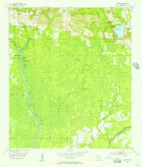
1955 Map of Wacissa
USGS Topo · Published 1956About this map
Wacissa and Thomas City stand as the primary settlements in this mid-century portrait of Jefferson County, where the landscape is defined by an intricate network of karst springs and swampy lowlands. The hydrological character of the region is evident in the numerous named water sources, including Horsehead Spring, Cassidy Spring, and Big Blue Spring, which feed into the southward-flowing Wacissa River. An Old Railroad Grade cuts diagonally across the center of the map, suggesting a shift from earlier industrial timber or rail activity to the more established agricultural and residential patterns of the 1950s.
Find a feature on this map
32 named features on this map. Tap any name to fly to it.
Don’t see what you’re looking for? This feature index may not catch every label — zoom into the map to look around manually.
Map Details
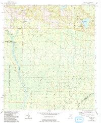
Editions of this 1955 Wacissa Map
3 editions found
Other maps of this area

1954 · Johnson Hammock
USGS Topo · 1:24,000

1954 · Lloyd
USGS Topo · 1:24,000

1954 · Cody
USGS Topo · 1:24,000

1954 · St. Marks NE
USGS Topo · 1:24,000

1954 · Valdosta
USGS Topo · 1:250,000

1954 · Tallahassee
USGS Topo · 1:250,000

1955 · Lamont
USGS Topo · 1:24,000

1955 · Waukeenah
USGS Topo · 1:24,000

1955 · Nutall Rise
USGS Topo · 1:24,000

1955 · Lamont SE
USGS Topo · 1:24,000