
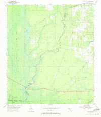
1955 Map of Nutall Rise
USGS Topo · Published 1956About this map
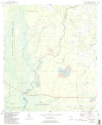
The Aucilla River and Wacissa River converge in this low-lying stretch of the Florida panhandle along the border of Jefferson and Taylor counties. The landscape is defined by its complex hydrology, featuring numerous watercourses like Rose Creek and Cow Creek, alongside the protected marshes of the St Marks National Wildlife Refuge. Small settlements such as Nutall Rise and Cabbage Grove punctuate the terrain, which was historically shaped by timber and transport.
Find a feature on this map
19 named features on this map. Tap any name to fly to it.
Don’t see what you’re looking for? This feature index may not catch every label — zoom into the map to look around manually.
Map Details
Editions of this 1955 Nutall Rise Map
3 editions found
Other maps of this area

1954 · Johnson Hammock
USGS Topo · 1:24,000

1954 · Cody
USGS Topo · 1:24,000

1954 · St. Marks NE
USGS Topo · 1:24,000

1954 · Cobb Rocks
USGS Topo · 1:24,000

1954 · Valdosta
USGS Topo · 1:250,000

1954 · Tallahassee
USGS Topo · 1:250,000

1955 · Snipe Island
USGS Topo · 1:24,000

1955 · Lamont SE
USGS Topo · 1:24,000

1955 · Manlin Hammock
USGS Topo · 1:24,000

1955 · Wacissa
USGS Topo · 1:24,000