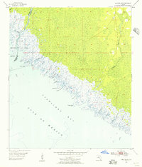
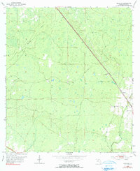
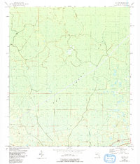
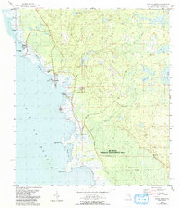
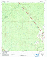
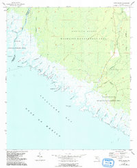
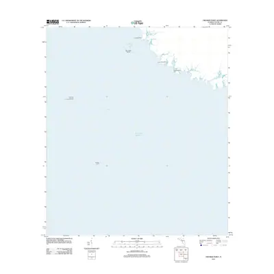
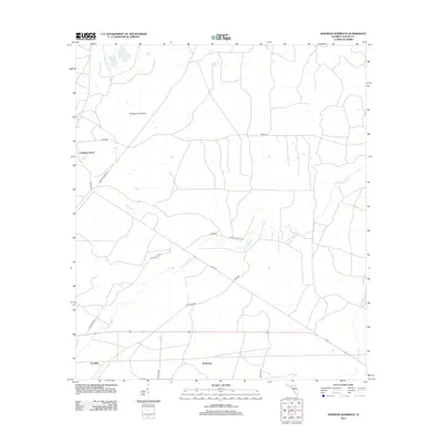
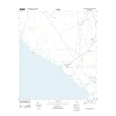
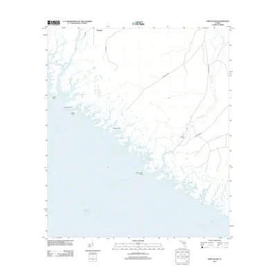
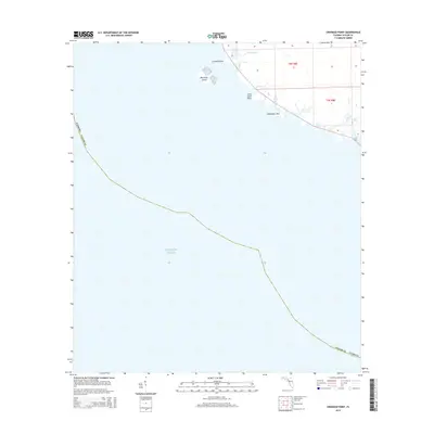
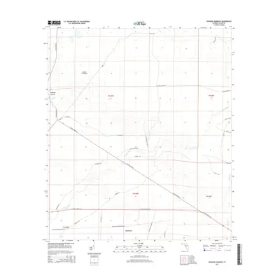
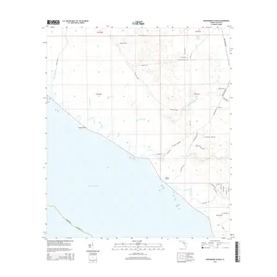
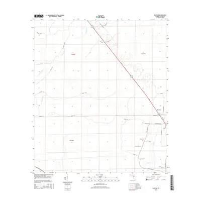
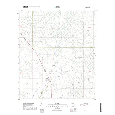
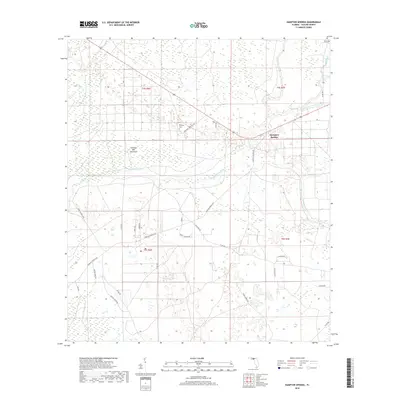
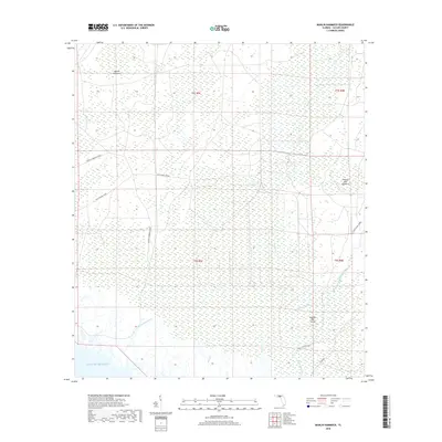
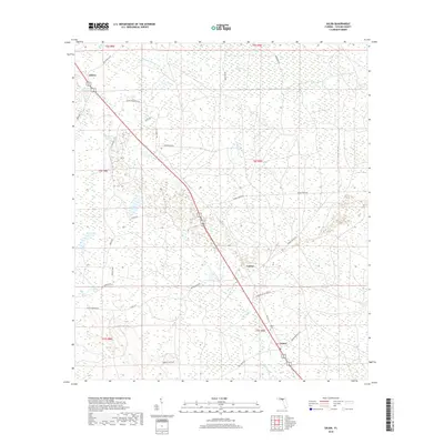
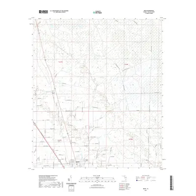
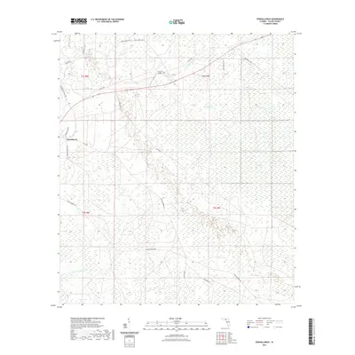
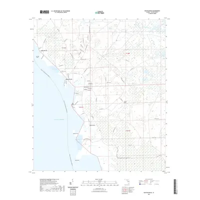
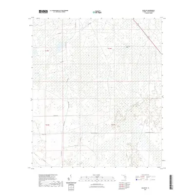
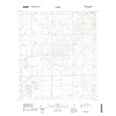
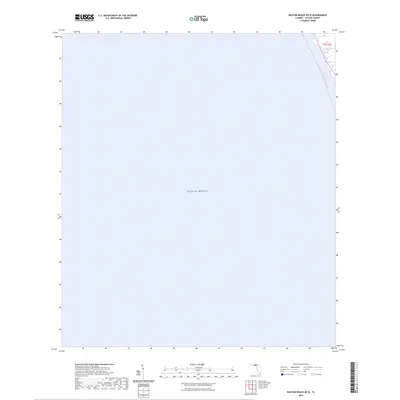
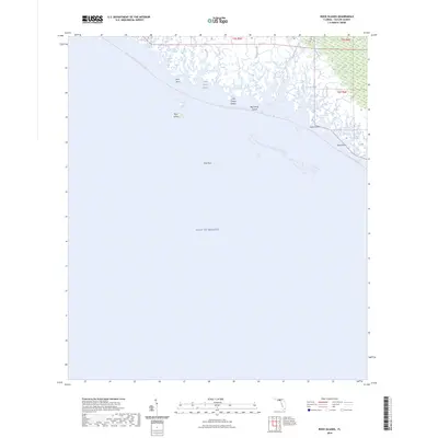
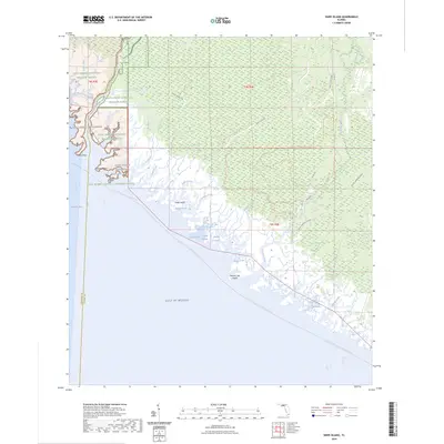
1955 Map of Snipe Island
USGS Topo · Published 1956About this map
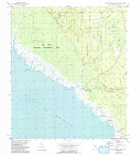
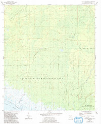
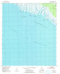
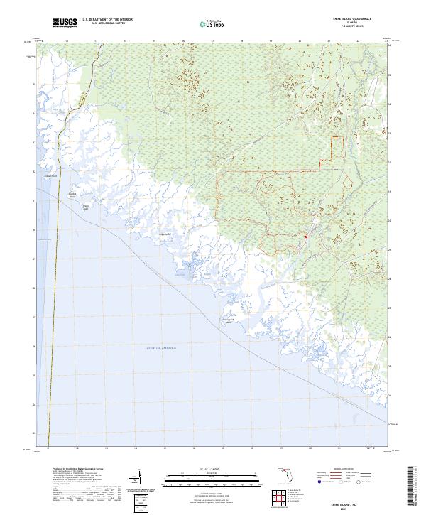
The coastal marshlands of the Florida Big Bend are meticulously detailed in this mid-1950s study, where the Jefferson and Taylor line meets the Gulf of Mexico. The landscape is dominated by the sprawling wetlands of the St Marks National Wildlife Refuge and a complex network of tidal waterways. Significant river systems like the Aucilla River and the Econfina River terminate here, creating a labyrinth of creeks and sloughs such as Snipe Island Cr and Smokehouse Creek.
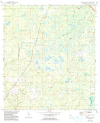
Find a feature on this map
30 named features on this map. Tap any name to fly to it.
Don’t see what you’re looking for? This feature index may not catch every label — zoom into the map to look around manually.
Map Details
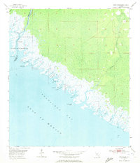
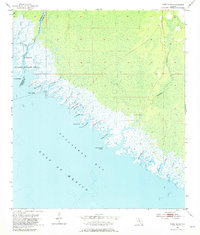
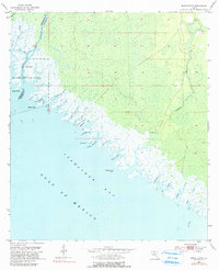
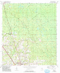
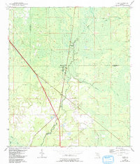
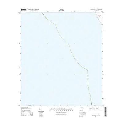
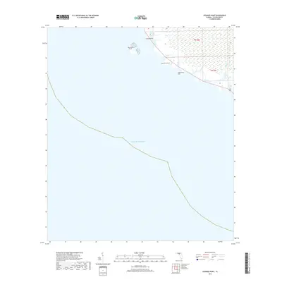
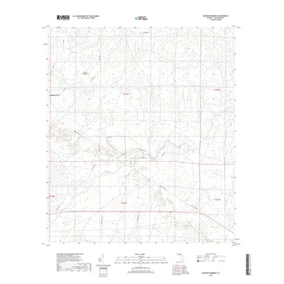
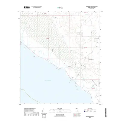
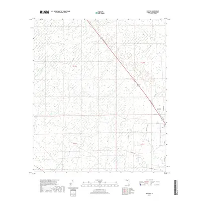
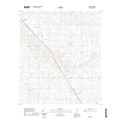
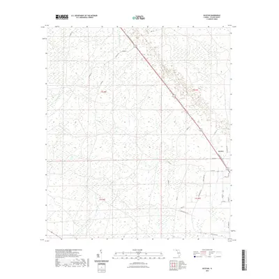
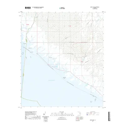
Editions of this 1955 Snipe Island Map
5 editions found
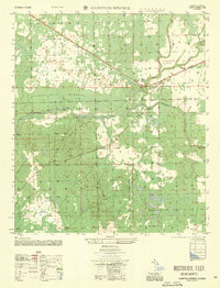
Historical Maps of Mandalay Through Time
111 maps found
1952 Secotan
Taylor County, FL
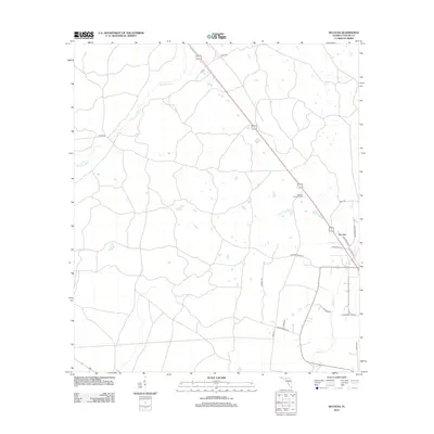
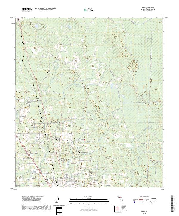
1954 Boyd
Taylor County, FL
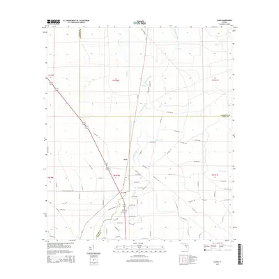
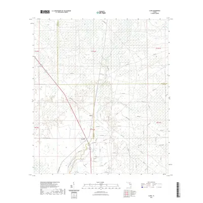
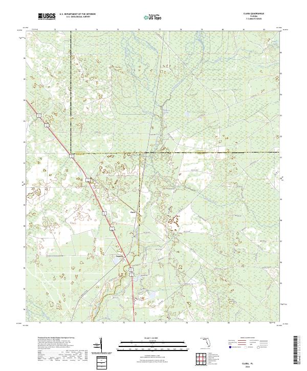
1954 Clara
Taylor County, FL
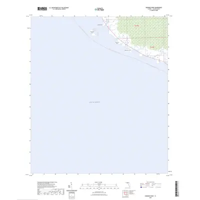
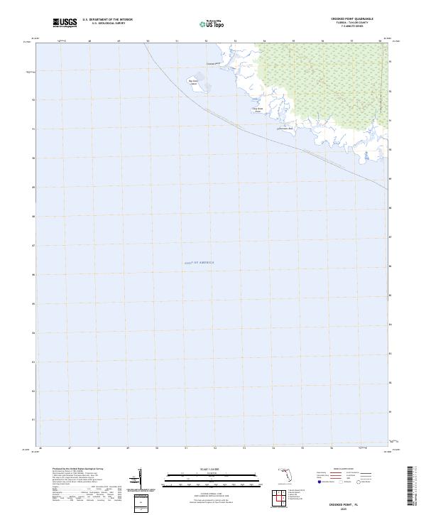
1954 Crooked Point
Taylor County, FL
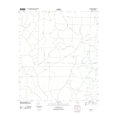
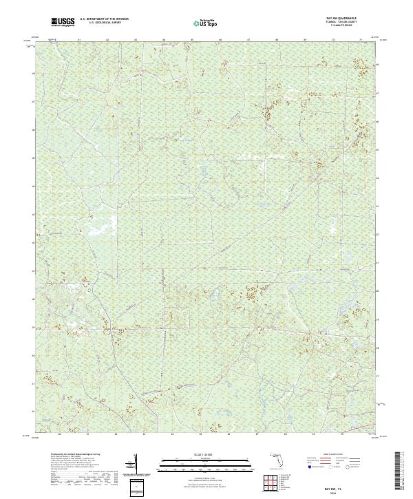
1954 Day NW
Taylor County, FL
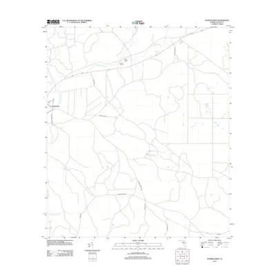
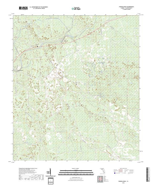
1954 Fenholloway
Taylor County, FL
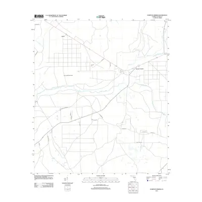
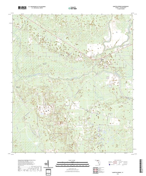
1954 Hampton Springs
Taylor County, FL
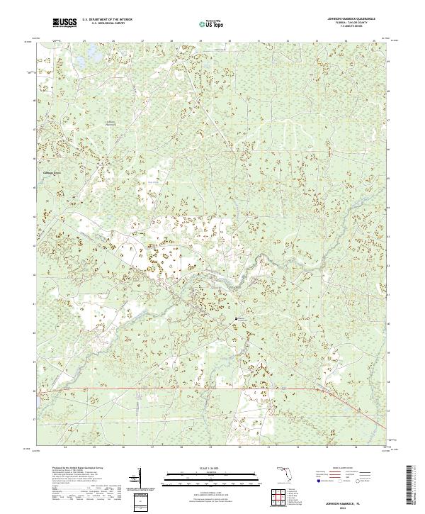
1954 Johnson Hammock
Taylor County, FL
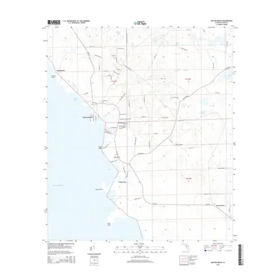
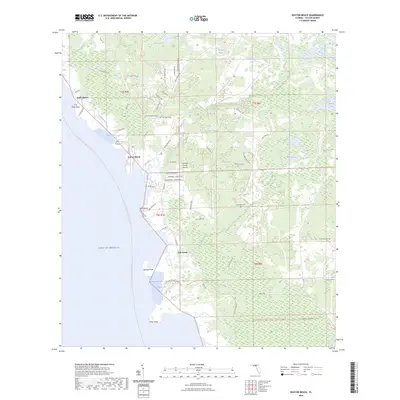
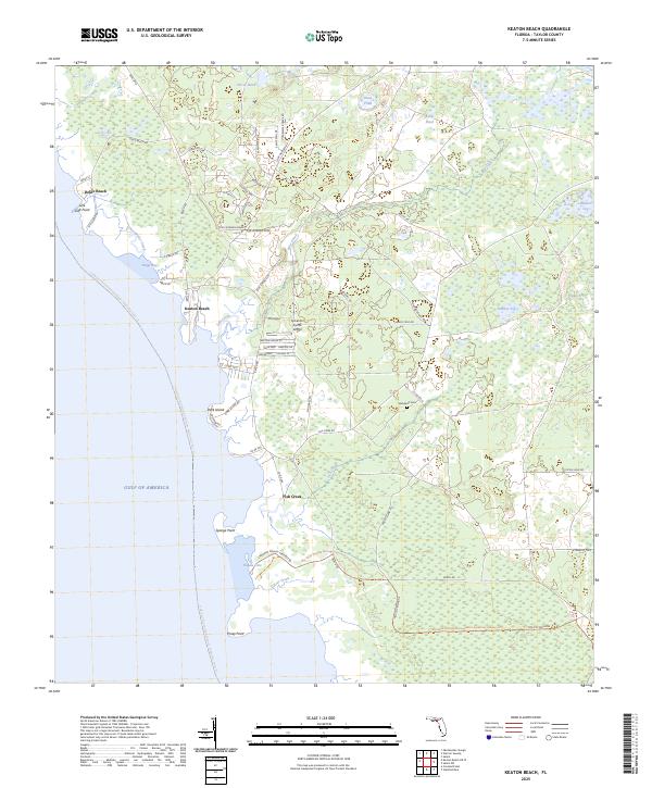
1954 Keaton Beach
Taylor County, FL
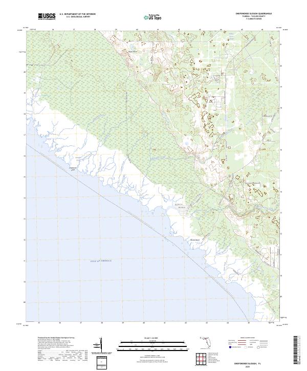
1954 Okefenokee Slough
Taylor County, FL
1954 Salem Sw
Taylor County, FL
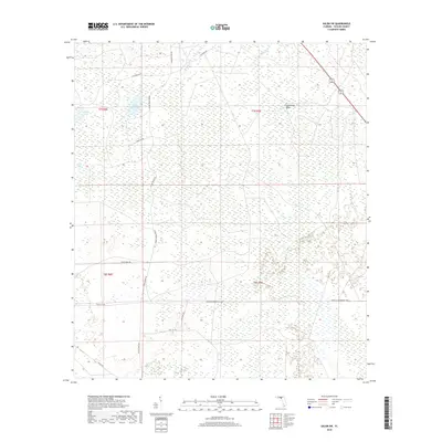
1954 Salem
Taylor County, FL
1954 Secotan
Taylor County, FL
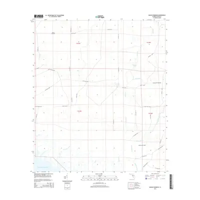
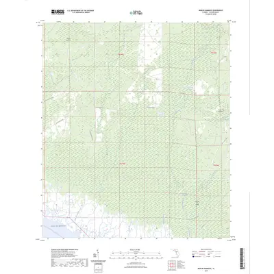
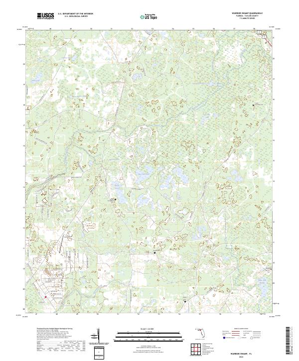
1954 Warrior Swamp
Taylor County, FL
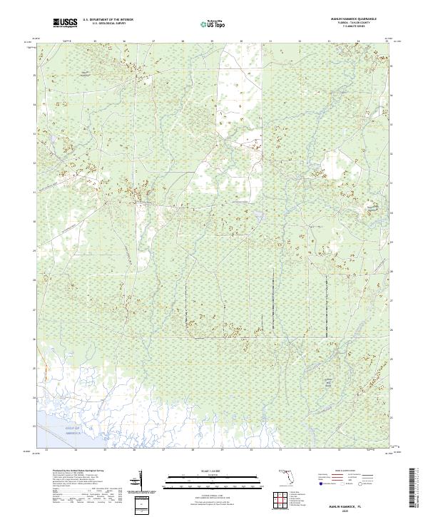
1955 Manlin Hammock
Taylor County, FL
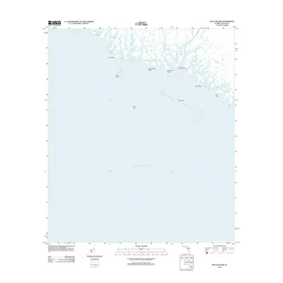
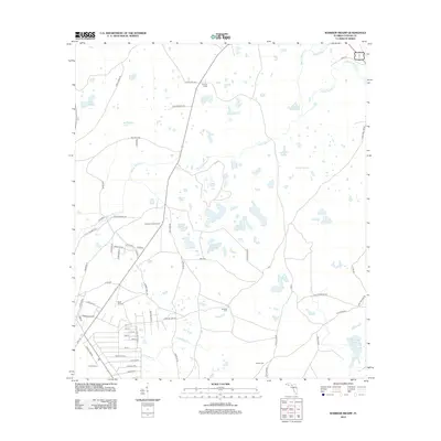
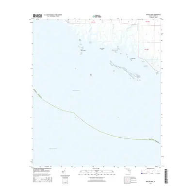
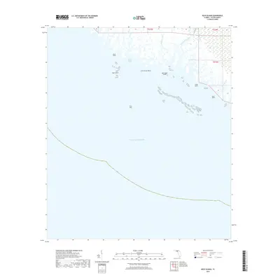
1955 Rock Islands
Taylor County, FL
1955 Snipe Island
Taylor County, FL
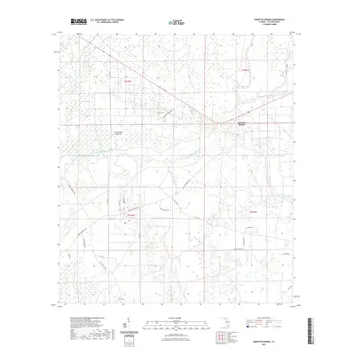
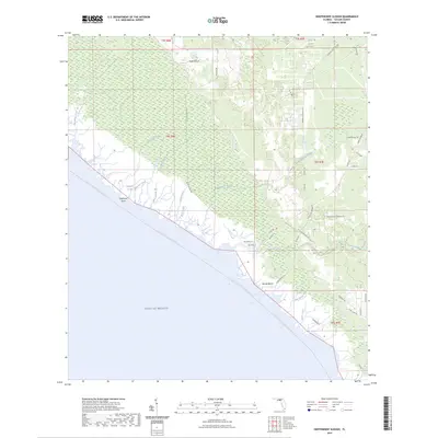
1956 Hampton Springs
Taylor County, FL
1994 Rock Islands
Taylor County, FL
2012 Boyd
Taylor County, FL

2012 Clara
Taylor County, FL
2012 Crooked Point
Taylor County, FL
2012 Day NW
Taylor County, FL
2012 Fenholloway
Taylor County, FL
2012 Hampton Springs
Taylor County, FL
2012 Johnson Hammock
Taylor County, FL
2012 Keaton Beach OE W
Taylor County, FL
2012 Keaton Beach
Taylor County, FL
2012 Manlin Hammock
Taylor County, FL
2012 Okefenokee Slough
Taylor County, FL
2012 Rock Islands
Taylor County, FL
2012 Salem SW
Taylor County, FL
2012 Salem
Taylor County, FL
2012 Secotan
Taylor County, FL
2012 Snipe Island
Taylor County, FL
2012 Warrior Swamp
Taylor County, FL

2015 Boyd
Taylor County, FL
2015 Clara
Taylor County, FL
2015 Crooked Point
Taylor County, FL
2015 Day NW
Taylor County, FL
2015 Fenholloway
Taylor County, FL
2015 Hampton Springs
Taylor County, FL
2015 Johnson Hammock
Taylor County, FL
2015 Keaton Beach OE W
Taylor County, FL
2015 Keaton Beach
Taylor County, FL
2015 Manlin Hammock
Taylor County, FL
2015 Okefenokee Slough
Taylor County, FL
2015 Rock Islands
Taylor County, FL
2015 Salem SW
Taylor County, FL
2015 Salem
Taylor County, FL
2015 Secotan
Taylor County, FL
2015 Snipe Island
Taylor County, FL
2015 Warrior Swamp
Taylor County, FL
2018 Boyd
Taylor County, FL
2018 Clara
Taylor County, FL
2018 Crooked Point
Taylor County, FL
2018 Day NW
Taylor County, FL
2018 Fenholloway
Taylor County, FL
2018 Hampton Springs
Taylor County, FL
2018 Johnson Hammock
Taylor County, FL
2018 Keaton Beach OE W
Taylor County, FL
2018 Keaton Beach
Taylor County, FL
2018 Manlin Hammock
Taylor County, FL
2018 Okefenokee Slough
Taylor County, FL
2018 Rock Islands
Taylor County, FL
2018 Salem SW
Taylor County, FL
2018 Salem
Taylor County, FL
2018 Secotan
Taylor County, FL
2018 Snipe Island
Taylor County, FL
2018 Warrior Swamp
Taylor County, FL
2021 Boyd
Taylor County, FL
2021 Clara
Taylor County, FL
2021 Crooked Point
Taylor County, FL
2021 Day NW
Taylor County, FL
2021 Fenholloway
Taylor County, FL
2021 Hampton Springs
Taylor County, FL
2021 Johnson Hammock
Taylor County, FL
2021 Keaton Beach OE W
Taylor County, FL
2021 Keaton Beach
Taylor County, FL
2021 Manlin Hammock
Taylor County, FL
2021 Okefenokee Slough
Taylor County, FL
2021 Rock Islands
Taylor County, FL
2021 Salem SW
Taylor County, FL
2021 Salem
Taylor County, FL
2021 Secotan
Taylor County, FL
2021 Snipe Island
Taylor County, FL
2021 Warrior Swamp
Taylor County, FL
2024 Boyd
Taylor County, FL
2024 Clara
Taylor County, FL
2024 Crooked Point
Taylor County, FL
2024 Day NW
Taylor County, FL
2024 Fenholloway
Taylor County, FL
2024 Hampton Springs
Taylor County, FL
2024 Johnson Hammock
Taylor County, FL
2024 Keaton Beach OE W
Taylor County, FL
2024 Keaton Beach
Taylor County, FL
2024 Manlin Hammock
Taylor County, FL
2024 Okefenokee Slough
Taylor County, FL
2024 Rock Islands
Taylor County, FL
2024 Salem SW
Taylor County, FL
2024 Salem
Taylor County, FL
2024 Secotan
Taylor County, FL
2024 Snipe Island
Taylor County, FL
2024 Warrior Swamp
Taylor County, FL
2025 Crooked Point
Taylor County, FL
2025 Keaton Beach OE W
Taylor County, FL
2025 Keaton Beach
Taylor County, FL
2025 Manlin Hammock
Taylor County, FL
2025 Okefenokee Slough
Taylor County, FL

2025 Rock Islands
Taylor County, FL
2025 Snipe Island
Taylor County, FL