
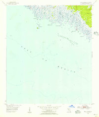
1955 Map of Rock Islands
USGS Topo · Published 1956About this map
The marshy coastline of Taylor County meets the Gulf of Mexico in this mid-century coastal survey. This stretch of the Florida Panhandle is defined by a complex network of tidal inlets and rivers, including the Fenholloway River and the Henderson River, which empty into the shallow waters of Apalachee Bay. The map documents an intricate shoreline of points and islands, such as Rock Point, Stake Point, and the Rock Islands cluster. An Old Railroad Grade in the northeast corner suggests the region's historical industrial activity, likely tied to timber or naval stores, which were moving inland away from the tidal flats. Offshore, the geography is marked by extensive Oyster Bars and isolated features like Bird Rock, while the interior remains a dense mosaic of wetlands and small waterways like Cut Off Cr and Pinhook Creek.
Find a feature on this map
16 named features on this map. Tap any name to fly to it.
Don’t see what you’re looking for? This feature index may not catch every label — zoom into the map to look around manually.
Map Details
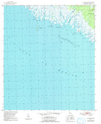
Editions of this 1955 Rock Islands Map
Other maps of this area

1954 · Hampton Springs
USGS Topo · 1:24,000

1954 · Okefenokee Slough
USGS Topo · 1:24,000

1954 · Gainesville
USGS Topo · 1:250,000

1954 · Valdosta
USGS Topo · 1:250,000

1955 · Snipe Island
USGS Topo · 1:24,000

1955 · Manlin Hammock
USGS Topo · 1:24,000
1956 · Hampton Springs
USGS Topo · 1:25,000

1958 · Valdosta
USGS Topo · 1:250,000

1958 · Gainesville
USGS Topo · 1:250,000

1959 · Valdosta
USGS Topo · 1:250,000