
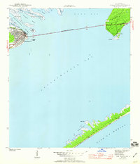
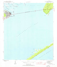
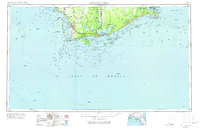
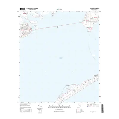
1949 Map of Apalachicola
USGS Topo · Published 1949About this map
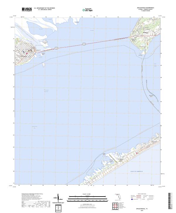
Apalachicola and the surrounding coastline of the Florida Panhandle are depicted in the late 1940s, a period when the timber and maritime economies defined the region. The map tracks the Apalachicola Northern railroad as it connects the working waterfront of Port St Joe to the interior, cutting through the dense timberlands of the Apalachicola National Forest. The landscape is dominated by complex water systems, from the expansive Tates Hell Swamp and Panther Swamp to the sheltered waters of St Joseph Bay and St Vincent Sound.
Find a feature on this map
81 named features on this map. Tap any name to fly to it.
Don’t see what you’re looking for? This feature index may not catch every label — zoom into the map to look around manually.
Map Details
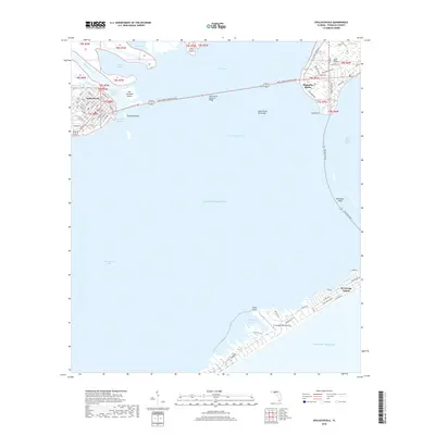
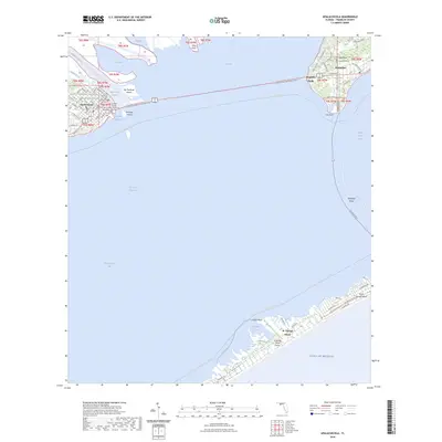
Editions of this 1949 Apalachicola Map
This is the sole edition of this map. No revisions or reprints were ever made.
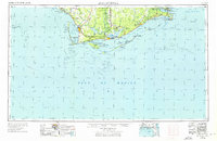
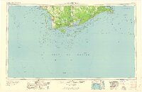
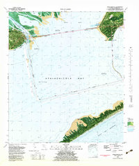
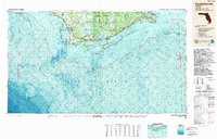
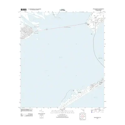
Historical Maps of Port Saint Joe Through Time
15 maps found
1943 Apalachicola
Franklin County, FL
1944 Apalachicola
Franklin County, FL
1949 Apalachicola
Franklin County, FL
1957 Apalachicola
Franklin County, FL

1959 Apalachicola
Franklin County, FL
1960 Apalachicola
Franklin County, FL
1967 Apalachicola
Franklin County, FL
1982 Apalachicola
Franklin County, FL
1988 Apalachicola
Franklin County, FL
2012 Apalachicola
Franklin County, FL
2015 Apalachicola
Franklin County, FL
2018 Apalachicola
Franklin County, FL

2021 Apalachicola
Franklin County, FL
2024 Apalachicola
Franklin County, FL
2025 Apalachicola
Franklin County, FL