
1943 Map of Overstreet
USGS Topo · Published 1943About this map
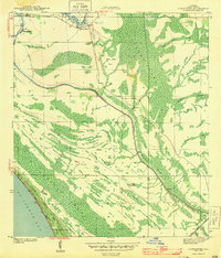
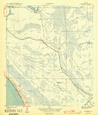
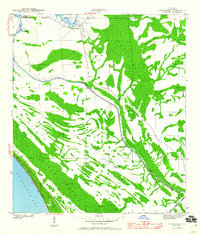
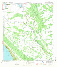
Overstreet stands at the northern edge of this Gulf County coastal region, a community defined by its proximity to the Intracoastal Waterway during the mid-war years. This Corps of Engineers survey reveals a landscape dominated by intricate wetlands and drainage patterns, where the waterway carves through the terrain near notable bends like Devils Elbow and The Kink. The presence of the Sharp Hardy Homestead and Ringjaw Camp indicates sparse, localized settlement amidst the dense sloughs and creeks. The geography transitions from the tidal influence of St Joseph Bay and the Northern Sand Dunes in the southwest to the interior pine and marshlands of the panhandle. Strategic infrastructure of the era is evident in the Fire Tower overlooking the town, while the numerous 'USE' labels along the canal corridor suggest active federal management of this vital inland shipping route during a period of intense maritime activity.
Find a feature on this map
37 named features on this map. Tap any name to fly to it.
Don’t see what you’re looking for? This feature index may not catch every label — zoom into the map to look around manually.
Map Details
Editions of this 1943 Overstreet Map
5 editions found
Other maps of this area

1943 · Port St. Joe
USGS Topo · 1:31,680

1944 · Beacon Hill
USGS Topo · 1:31,680

1944 · White City
USGS Topo · 1:24,000

1945 · Lake Wimico
USGS Topo · 1:31,680

1945 · White City
USGS Topo · 1:31,680

1945 · Allanton
USGS Topo · 1:31,680

1945 · Wewahitchka
USGS Topo · 1:31,680

1945 · Wetappo Creek
USGS Topo · 1:31,680

1945 · St Joseph Point
USGS Topo · 1:31,680

1947 · Allanton
USGS Topo · 1:25,000