
1945 Map of Wetappo Creek
USGS Topo · Published 1945About this map
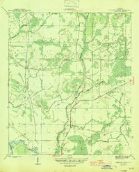
Wetappo Creek winds through a dense landscape of wetlands and low-lying islands in this mid-1940s survey of Gulf County. The area is defined by its water-locked geography, where the Intracoastal Waterway cuts through the southern reaches, connecting the drainage of the swampy interior to the coastal network. The Wetappo Side Camp stands as a notable human outpost in this largely undeveloped terrain, likely serving the forestry or land management needs of the era. To the north and east, the map details numerous named wetlands such as Cypress Swamp and Bill Swamp, along with isolated landforms like the Jersey Islands and Martin Islands. The presence of the Overstreet Road provides a primary transit corridor through the marshy lowland, highlighting the sparse but vital infrastructure required to navigate this portion of the Florida Panhandle during the mid-twentieth century.
Find a feature on this map
14 named features on this map. Tap any name to fly to it.
Don’t see what you’re looking for? This feature index may not catch every label — zoom into the map to look around manually.
Map Details
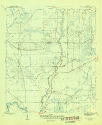
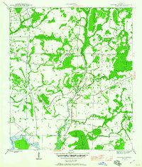
Editions of this 1945 Wetappo Creek Map
4 editions found
Other maps of this area

1943 · Overstreet
USGS Topo · 1:31,680

1944 · Beacon Hill
USGS Topo · 1:31,680

1944 · White City
USGS Topo · 1:24,000

1945 · Dead Lake
USGS Topo · 1:31,680

1945 · White City
USGS Topo · 1:31,680

1945 · Allanton
USGS Topo · 1:31,680

1945 · North Of Allanton
USGS Topo · 1:31,680

1945 · Wewahitchka
USGS Topo · 1:31,680

1945 · Tenmile Swamp
USGS Topo · 1:31,680

1947 · Allanton
USGS Topo · 1:25,000