
1945 Map of Wewahitchka
USGS Topo · Published 1945About this map
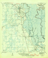
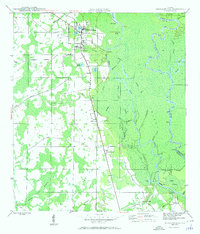
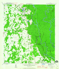
The Chipola River and Apalachicola River dominate this 1940s landscape, winding through a complex network of sloughs and wetlands in Gulf County. The town of Wewahitchka serves as the primary inland hub, its grid layout situated between the waters of Lake Alice, Lake Julia, and the northern edge of Dead Lake. This area was historically significant for its timber and naval stores industries, as evidenced by the presence of Gaskins Still and the numerous landings along the riverbanks, including Cockran Landing and Burgess Landing.
Find a feature on this map
45 named features on this map. Tap any name to fly to it.
Don’t see what you’re looking for? This feature index may not catch every label — zoom into the map to look around manually.
Map Details
Editions of this 1945 Wewahitchka Map
4 editions found
Other maps of this area

1943 · Overstreet
USGS Topo · 1:31,680

1944 · White City
USGS Topo · 1:24,000

1944 · Forbes Island
USGS Topo · 1:24,000

1945 · Dead Lake
USGS Topo · 1:31,680

1945 · Forbes Island
USGS Topo · 1:31,680

1945 · Kennedy Creek
USGS Topo · 1:31,680

1945 · White City
USGS Topo · 1:31,680

1945 · Orange
USGS Topo · 1:31,680

1945 · Wetappo Creek
USGS Topo · 1:31,680

1945 · Tenmile Swamp
USGS Topo · 1:31,680