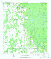
1945 Map of Wewahitchka
USGS Topo · Published 1960About this map
Wewahitchka and the surrounding river lowlands of Gulf County are documented here just after the second World War. The settlement pattern is defined by the complex aquatic landscape where the Apalachicola River and Chipola River converge amidst a dense network of sloughs and reaches. Small rural centers like Honeyville and Gaskins Still are linked by the primary north-south corridor, while the eastern portion of the sheet is dominated by the labyrinthine waterways of Cutoff Island and Upper Piney Reach.
Find a feature on this map
47 named features on this map. Tap any name to fly to it.
Don’t see what you’re looking for? This feature index may not catch every label — zoom into the map to look around manually.
Map Details
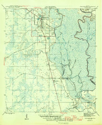
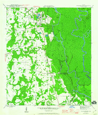
Editions of this 1945 Wewahitchka Map
4 editions found
Other maps of this area

1943 · Overstreet
USGS Topo · 1:31,680

1944 · White City
USGS Topo · 1:24,000

1944 · Forbes Island
USGS Topo · 1:24,000

1945 · Dead Lake
USGS Topo · 1:31,680

1945 · Forbes Island
USGS Topo · 1:31,680

1945 · Kennedy Creek
USGS Topo · 1:31,680

1945 · White City
USGS Topo · 1:31,680

1945 · Orange
USGS Topo · 1:31,680

1945 · Wewahitchka
USGS Topo · 1:31,680

1945 · Wetappo Creek
USGS Topo · 1:31,680