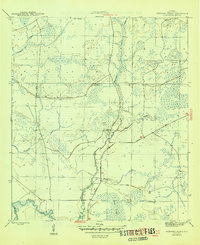
1945 Map of Wetappo Creek
USGS Topo · Published 1945About this map
Wetappo Creek dominates this Gulf County landscape, winding south through an extensive network of wetlands just before the end of the second World War. The topography is defined by its low-lying, marshy character, where subtle elevations rise as islands among the standing water. These include the Jersey Islands, Martin Islands, and Brushy Islands, which provided rare patches of dry ground in an otherwise fluid environment.
Find a feature on this map
15 named features on this map. Tap any name to fly to it.
Don’t see what you’re looking for? This feature index may not catch every label — zoom into the map to look around manually.
Map Details
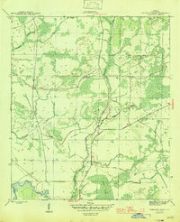
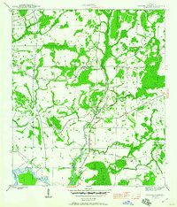
Editions of this 1945 Wetappo Creek Map
4 editions found
Other maps of this area

1943 · Overstreet
USGS Topo · 1:31,680

1944 · Beacon Hill
USGS Topo · 1:31,680

1944 · White City
USGS Topo · 1:24,000

1945 · Dead Lake
USGS Topo · 1:31,680

1945 · White City
USGS Topo · 1:31,680

1945 · Allanton
USGS Topo · 1:31,680

1945 · North Of Allanton
USGS Topo · 1:31,680

1945 · Wewahitchka
USGS Topo · 1:31,680

1945 · Wetappo Creek
USGS Topo · 1:31,680

1945 · Tenmile Swamp
USGS Topo · 1:31,680