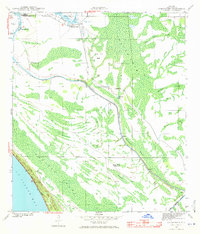
1943 Map of Overstreet
USGS Topo · Published 1971About this map
St Joseph Bay and its towering Sand Dunes frame the southwestern edge of this coastal Florida landscape, surveyed just before the mid-century. Moving inland, the Intracoastal Waterway cuts a straight course through the dense vegetation of Panther Swamp and Cypress Swamp. The small settlement of Overstreet serves as a primary point of human activity near a local Fire Tower, while further south, the isolated Sharp Hardy Homestead and Ringjaw Camp reflect the area's sparse residential footprint.
Find a feature on this map
22 named features on this map. Tap any name to fly to it.
Don’t see what you’re looking for? This feature index may not catch every label — zoom into the map to look around manually.
Map Details
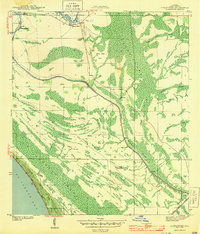
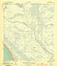
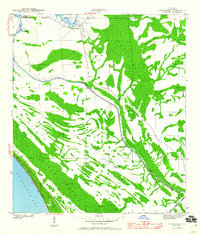
Editions of this 1943 Overstreet Map
5 editions found
Other maps of this area

1943 · Port St. Joe
USGS Topo · 1:31,680

1943 · Overstreet
USGS Topo · 1:31,680

1944 · Beacon Hill
USGS Topo · 1:31,680

1944 · White City
USGS Topo · 1:24,000

1945 · Lake Wimico
USGS Topo · 1:31,680

1945 · White City
USGS Topo · 1:31,680

1945 · Allanton
USGS Topo · 1:31,680

1945 · Wewahitchka
USGS Topo · 1:31,680

1945 · Wetappo Creek
USGS Topo · 1:31,680

1945 · St Joseph Point
USGS Topo · 1:31,680