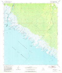
1955 Map of Snipe Island
USGS Topo · Published 1981About this map
The coastal marshes of the St Marks National Wildlife Refuge define this stretch of the Florida Panhandle during the mid-1950s. Situated along the boundary of Jefferson and Taylor counties, the map documents a labyrinthine shoreline where the Aucilla River and the Econfina River empty into Apalachee Bay. This landscape is primarily comprised of tidal creeks and salt marshes, with very few signs of human infrastructure beyond Econfina Landing and a handful of unimproved dirt tracks.
Find a feature on this map
29 named features on this map. Tap any name to fly to it.
Don’t see what you’re looking for? This feature index may not catch every label — zoom into the map to look around manually.
Map Details
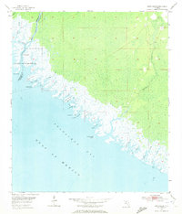
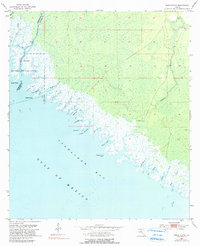
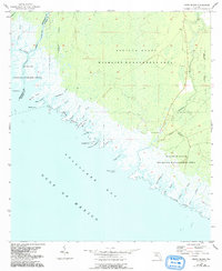
Editions of this 1955 Snipe Island Map
5 editions found
Other maps of this area

1949 · Apalachicola
USGS Topo · 1:250,000

1954 · Johnson Hammock
USGS Topo · 1:24,000

1954 · St. Marks NE
USGS Topo · 1:24,000

1954 · Cobb Rocks
USGS Topo · 1:24,000

1954 · Gainesville
USGS Topo · 1:250,000

1954 · Valdosta
USGS Topo · 1:250,000

1954 · Tallahassee
USGS Topo · 1:250,000

1955 · Snipe Island
USGS Topo · 1:24,000

1955 · Nutall Rise
USGS Topo · 1:24,000

1955 · Rock Islands
USGS Topo · 1:24,000