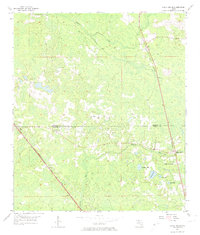
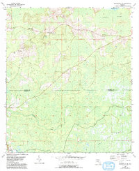
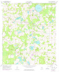
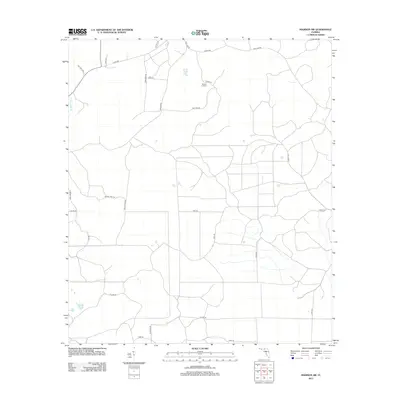
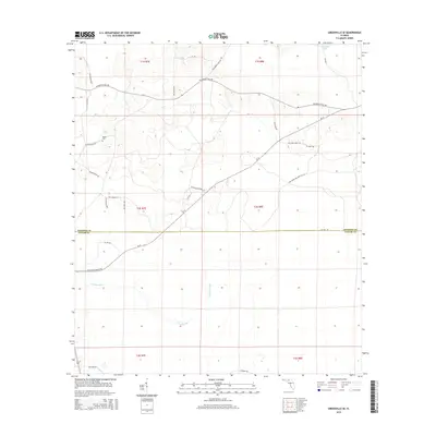
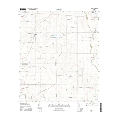
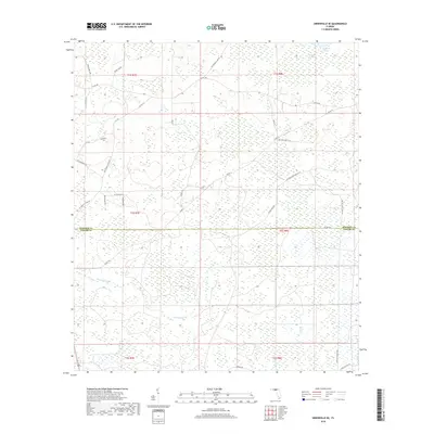
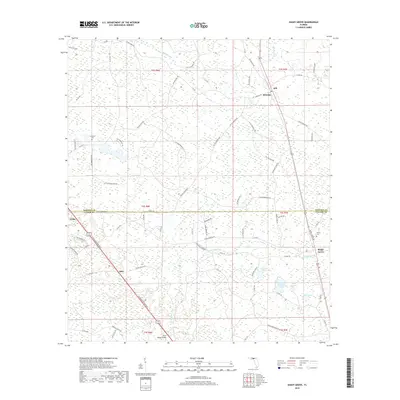
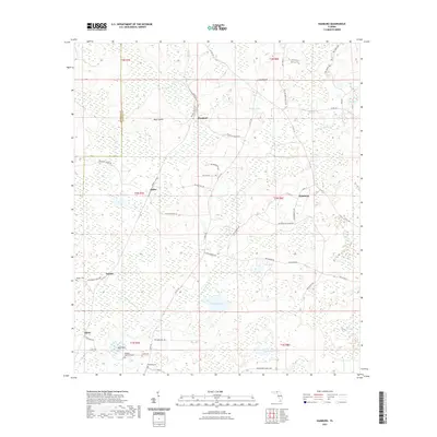
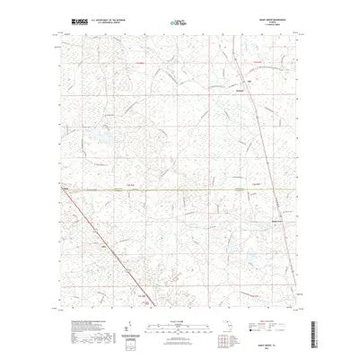
1955 Map of Shady Grove
USGS Topo · Published 1974About this map
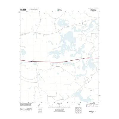
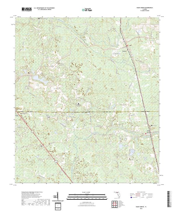
The Econfina River snakes through the low-lying wetlands of the Florida Panhandle on this mid-century survey, marking the boundary between Madison Co and Taylor Co. The landscape is defined by its water and woods, with numerous isolated lakes like Redwater Lake, Andrews Lake, and Nose Lake scattered across the terrain. Human settlement is clustered along the rail lines and regional roads, notably at Shady Grove, which serves as a local hub with its Shady Grove Sch and nearby Hendry Cem.
Find a feature on this map
22 named features on this map. Tap any name to fly to it.
Don’t see what you’re looking for? This feature index may not catch every label — zoom into the map to look around manually.
Map Details
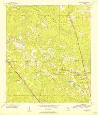
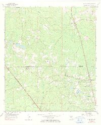
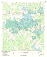
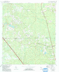
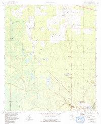
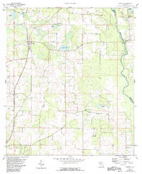
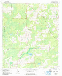
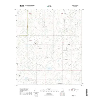
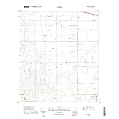
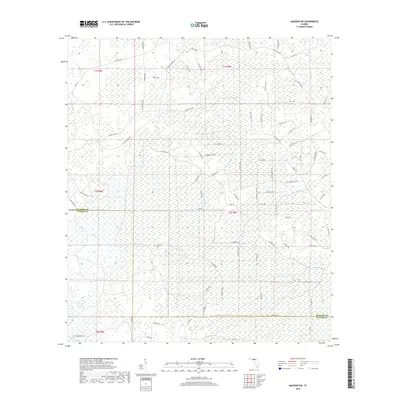
Editions of this 1955 Shady Grove Map
4 editions found
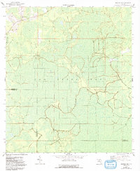
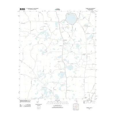
Historical Maps of Iddo Through Time
48 maps found
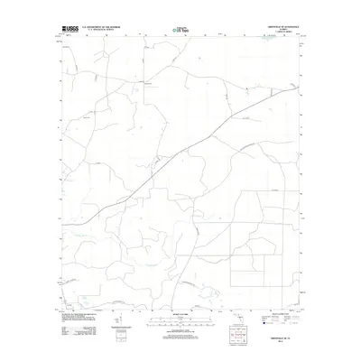
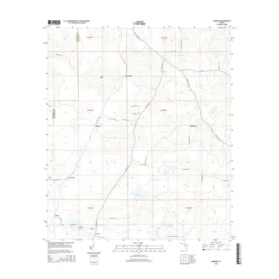
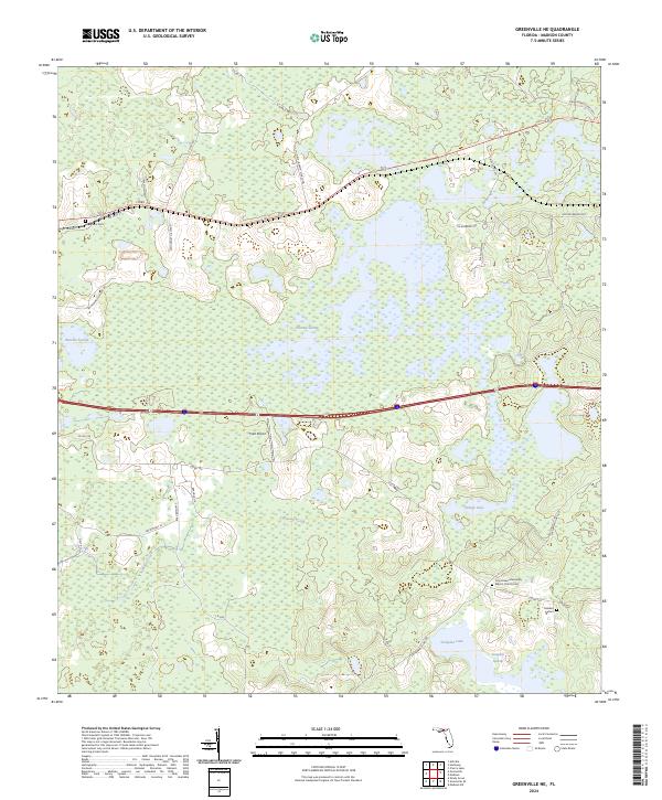
1954 Greenville NE
Madison County, FL
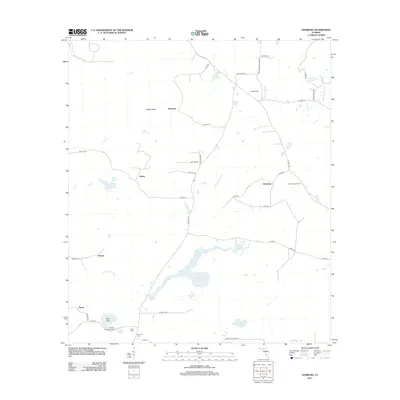
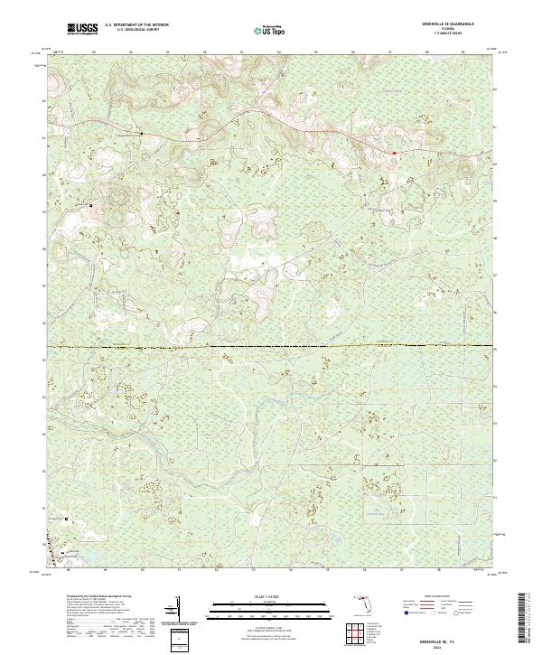
1955 Greenville SE
Madison County, FL
1955 Shady Grove
Madison County, FL
1958 Madison SE
Madison County, FL
1958 Madison SW
Madison County, FL
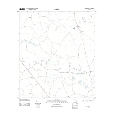
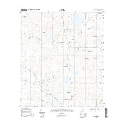
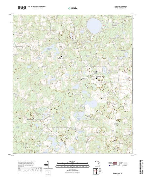
1960 Cherry Lake
Madison County, FL
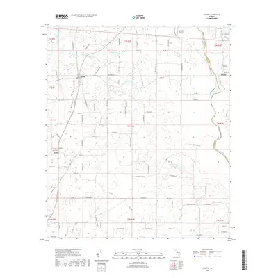
1960 Pinetta
Madison County, FL
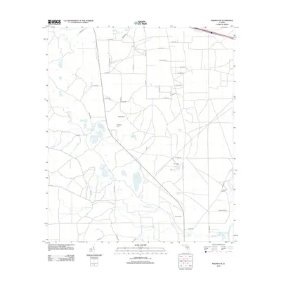
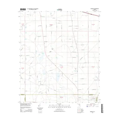
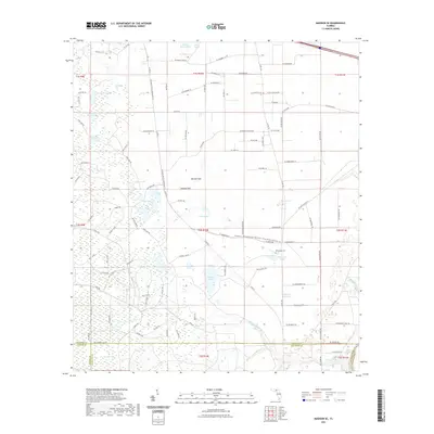
1962 Hamburg
Madison County, FL
2012 Cherry Lake
Madison County, FL
2012 Greenville NE
Madison County, FL
2012 Greenville SE
Madison County, FL
2012 Hamburg
Madison County, FL
2012 Madison SE
Madison County, FL
2012 Madison SW
Madison County, FL

2012 Pinetta
Madison County, FL
2012 Shady Grove
Madison County, FL
2015 Cherry Lake
Madison County, FL
2015 Greenville NE
Madison County, FL
2015 Greenville SE
Madison County, FL
2015 Hamburg
Madison County, FL
2015 Madison SE
Madison County, FL
2015 Madison SW
Madison County, FL
2015 Pinetta
Madison County, FL
2015 Shady Grove
Madison County, FL
2018 Cherry Lake
Madison County, FL
2018 Greenville NE
Madison County, FL
2018 Greenville SE
Madison County, FL
2018 Hamburg
Madison County, FL
2018 Madison SE
Madison County, FL
2018 Madison SW
Madison County, FL

2018 Pinetta
Madison County, FL
2018 Shady Grove
Madison County, FL
2021 Cherry Lake
Madison County, FL
2021 Greenville NE
Madison County, FL
2021 Greenville SE
Madison County, FL
2021 Hamburg
Madison County, FL
2021 Madison SE
Madison County, FL
2021 Madison SW
Madison County, FL
2021 Pinetta
Madison County, FL
2021 Shady Grove
Madison County, FL
2024 Cherry Lake
Madison County, FL
2024 Greenville NE
Madison County, FL
2024 Greenville SE
Madison County, FL
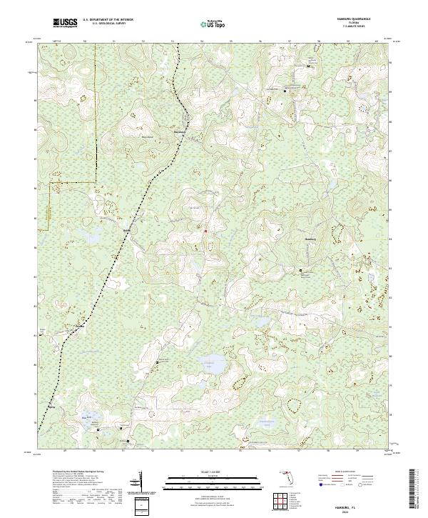
2024 Hamburg
Madison County, FL
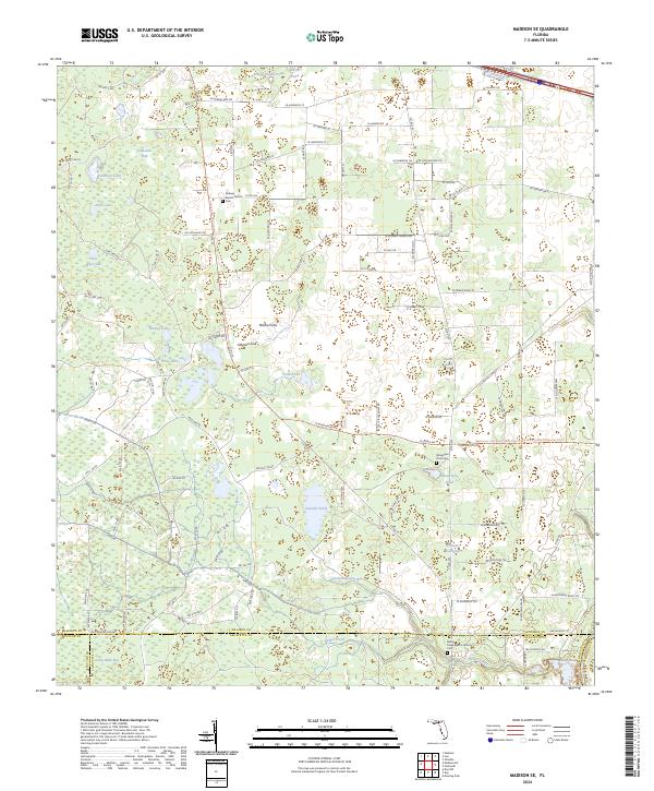
2024 Madison SE
Madison County, FL
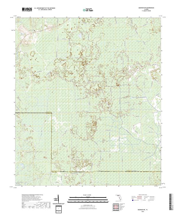
2024 Madison SW
Madison County, FL
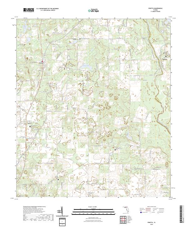
2024 Pinetta
Madison County, FL
2024 Shady Grove
Madison County, FL