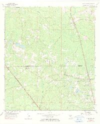
1955 Map of Shady Grove
USGS Topo · Published 1990About this map
The Econfina River winds through this low-lying landscape along the border of Madison and Taylor counties, defining a region where small timber and agricultural settlements once relied on intersecting rail lines. The Atlantic Coast Line and Southern railroads cut diagonal paths across the terrain, anchoring communities like Iddo, Eridu, and the map's namesake, Shady Grove. These small hubs are characterized by their local institutions, including the Shady Grove Sch and several country churches such as Fellowship Ch and Harmony Ch.
Find a feature on this map
22 named features on this map. Tap any name to fly to it.
Don’t see what you’re looking for? This feature index may not catch every label — zoom into the map to look around manually.
Map Details
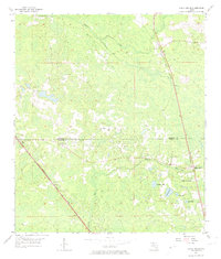
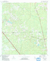
Editions of this 1955 Shady Grove Map
4 editions found
Other maps of this area

1952 · Secotan
USGS Topo · 1:24,000

1954 · Johnson Hammock
USGS Topo · 1:24,000

1954 · Boyd
USGS Topo · 1:24,000

1954 · Secotan
USGS Topo · 1:24,000

1954 · Greenville
USGS Topo · 1:24,000

1954 · Greenville NE
USGS Topo · 1:24,000

1954 · Valdosta
USGS Topo · 1:250,000

1955 · Lamont
USGS Topo · 1:24,000

1955 · Shady Grove
USGS Topo · 1:24,000

1955 · Lamont SE
USGS Topo · 1:24,000