
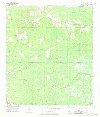
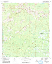
1955 Map of Greenville SE
USGS Topo · Published 1956About this map
Moseley Hall and the crossroads of Lake Bird anchor this mid-1950s survey of the north Florida timber and swamp lands. The landscape is defined by the transition between the Sampala Swamp to the north and the expansive San Pedro Bay in the south, with the Econfina River winding through the central lowlands. This era of Madison County history is marked by a scattered rural settlement pattern, where community life centered around local landmarks such as Wigginsville Ch and New Home Ch.
Find a feature on this map
12 named features on this map. Tap any name to fly to it.
Don’t see what you’re looking for? This feature index may not catch every label — zoom into the map to look around manually.
Map Details
Editions of this 1955 Greenville SE Map
3 editions found
Other maps of this area

1952 · Secotan
USGS Topo · 1:24,000

1954 · Boyd
USGS Topo · 1:24,000

1954 · Secotan
USGS Topo · 1:24,000

1954 · Day NW
USGS Topo · 1:24,000

1954 · Greenville
USGS Topo · 1:24,000

1954 · Greenville NE
USGS Topo · 1:24,000

1954 · Valdosta
USGS Topo · 1:250,000

1955 · Shady Grove
USGS Topo · 1:24,000

1958 · Valdosta
USGS Topo · 1:250,000

1958 · Madison SW
USGS Topo · 1:24,000