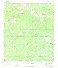
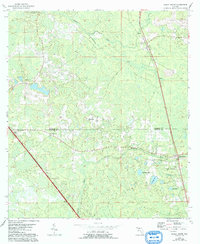
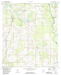
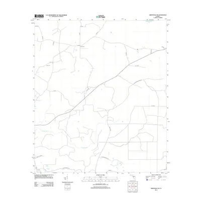
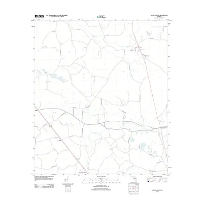
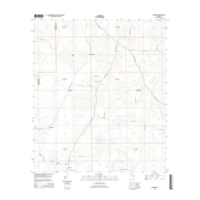
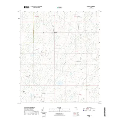
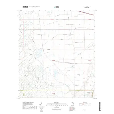
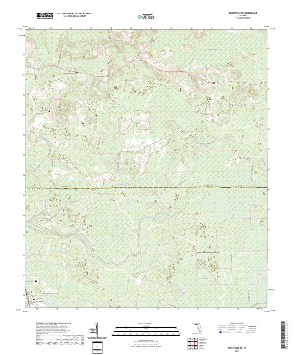
1955 Map of Greenville SE
USGS Topo · Published 1970About this map
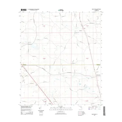
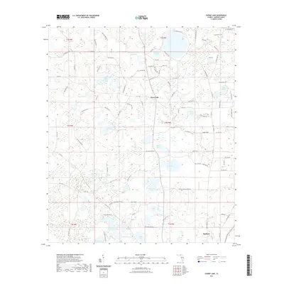
Wigginsville and Moseley Hall anchor the northern landscape of this mid-century Florida survey, which captures the rural transition from Madison County into Taylor County. The terrain is defined by the hydrologic network of the Sampala Swamp feeding into Sampala Lake and the winding course of the Econfina River. The presence of small community centers like New Home Ch and scattered burial grounds, such as Bailey Cem, provides essential points of reference for genealogists tracking family settlements in this wooded region.
Find a feature on this map
13 named features on this map. Tap any name to fly to it.
Don’t see what you’re looking for? This feature index may not catch every label — zoom into the map to look around manually.
Map Details
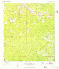
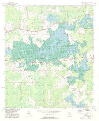
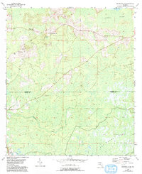
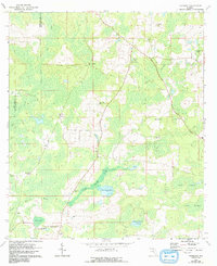
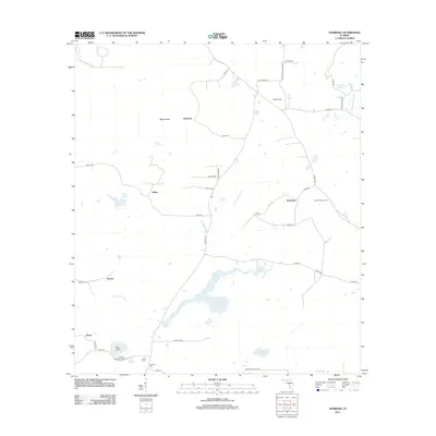
Editions of this 1955 Greenville SE Map
3 editions found
Historical Maps of Taylor County Through Time
48 maps found
1954 Greenville NE
Madison County, FL
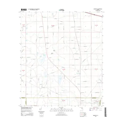
1955 Greenville SE
Madison County, FL
1955 Shady Grove
Madison County, FL
1958 Madison SE
Madison County, FL
1958 Madison SW
Madison County, FL
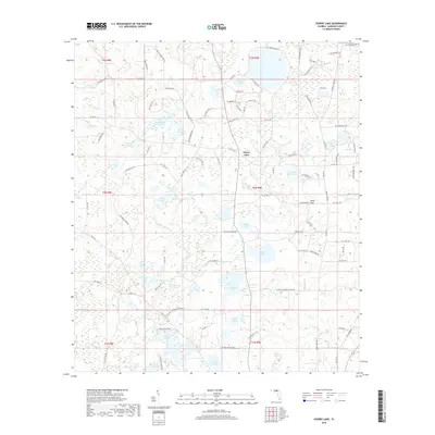
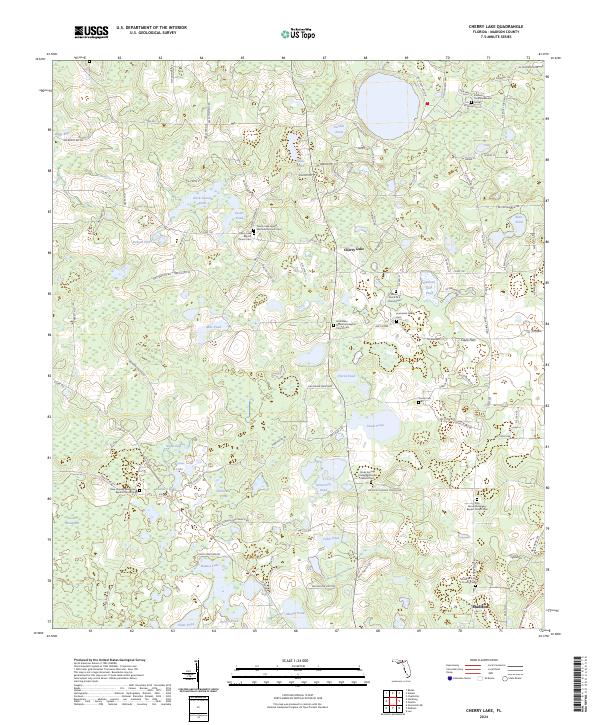
1960 Cherry Lake
Madison County, FL
1960 Pinetta
Madison County, FL
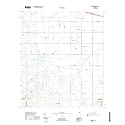
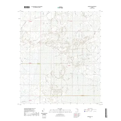
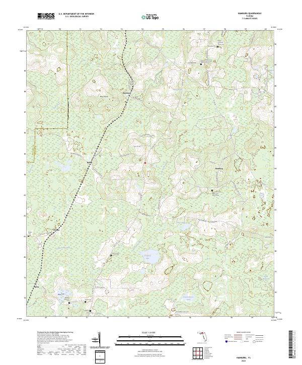
1962 Hamburg
Madison County, FL
2012 Cherry Lake
Madison County, FL
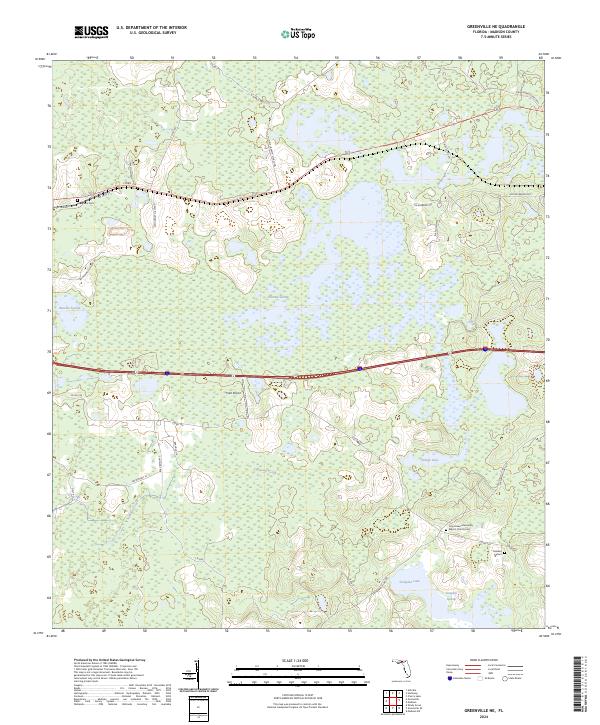
2012 Greenville NE
Madison County, FL
2012 Greenville SE
Madison County, FL
2012 Hamburg
Madison County, FL
2012 Madison SE
Madison County, FL
2012 Madison SW
Madison County, FL

2012 Pinetta
Madison County, FL
2012 Shady Grove
Madison County, FL
2015 Cherry Lake
Madison County, FL
2015 Greenville NE
Madison County, FL
2015 Greenville SE
Madison County, FL
2015 Hamburg
Madison County, FL
2015 Madison SE
Madison County, FL
2015 Madison SW
Madison County, FL
2015 Pinetta
Madison County, FL
2015 Shady Grove
Madison County, FL
2018 Cherry Lake
Madison County, FL
2018 Greenville NE
Madison County, FL
2018 Greenville SE
Madison County, FL
2018 Hamburg
Madison County, FL
2018 Madison SE
Madison County, FL
2018 Madison SW
Madison County, FL

2018 Pinetta
Madison County, FL
2018 Shady Grove
Madison County, FL
2021 Cherry Lake
Madison County, FL
2021 Greenville NE
Madison County, FL
2021 Greenville SE
Madison County, FL
2021 Hamburg
Madison County, FL
2021 Madison SE
Madison County, FL
2021 Madison SW
Madison County, FL
2021 Pinetta
Madison County, FL
2021 Shady Grove
Madison County, FL
2024 Cherry Lake
Madison County, FL
2024 Greenville NE
Madison County, FL
2024 Greenville SE
Madison County, FL
2024 Hamburg
Madison County, FL
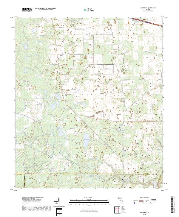
2024 Madison SE
Madison County, FL
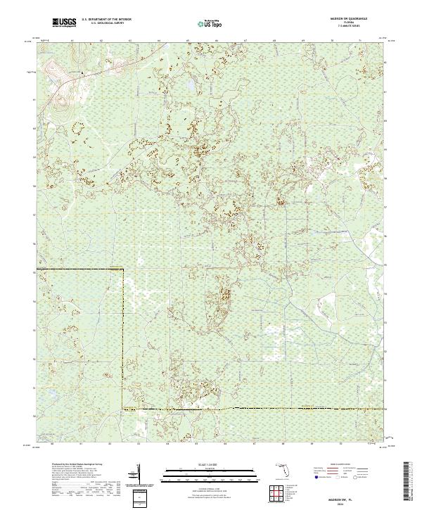
2024 Madison SW
Madison County, FL
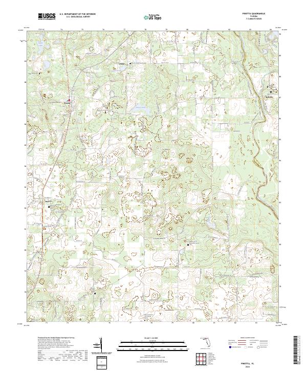
2024 Pinetta
Madison County, FL
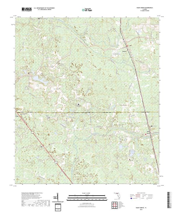
2024 Shady Grove
Madison County, FL