Old Maps of Greenville, Florida
Explore 16 old maps of Greenville, spanning from 1954 to today. These high-resolution historic maps reveal how streets, neighborhoods, landmarks, and natural features evolved over time — perfect for genealogy, metal detecting, research, and local history exploration.
What you can do with these maps:
- See how Greenville changed over time: Compare historical maps to modern-day views to trace roads, homesites, rail lines & more.
- View detailed metadata: Each map includes creators, publishers, year, scale, and archive source.
- Overlay maps with satellite & LiDAR: Visualize the past alongside modern tools to explore terrain & human change.
- Trusted historical sources: Maps sourced from the USGS, Library of Congress, and other archives.
- Access maps your way: View online, download high-res files, or order prints for personal or research use.
Start exploring old maps of Greenville to uncover forgotten places, hidden landmarks, and the deep history beneath your feet.
Greenville, FL maps
(16)- 1954 Map of Greenville, 1956 Print
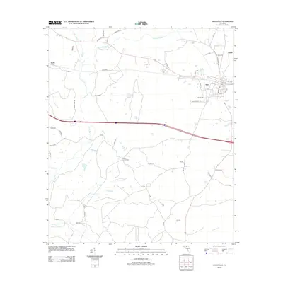
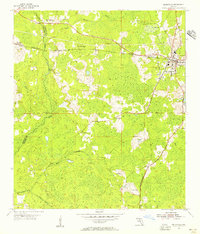 1954 Greenville1956 Print · USGSThe Madison and Jefferson County line in the mid-1950s shows a landscape of timber tracts and rail-junction towns. Researchers can trace rural lineages through numerous local landmarks like New Hopewell Ch, Barclay Cem, and the Seaboard Air Line tracks.3 unique versions available
 - 1954 Map of Greenville NE, 1956 Print
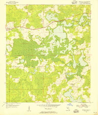 1954 Greenville NE1956 Print · USGSMadison County's wet timberlands and rural crossroads are captured here in the mid-fifties, just as aerial photography began to refine local mapping. Genealogists and historians can trace community sites like Concord Ch, the Cross Road Sch, and the long-established Evergreen Cem.2 unique versions available
 - 1954 Map of Valdosta, 1967 Print
 1954 Valdosta1967 Print · USGSThe South Georgia and North Florida borderlands are captured here in the mid-fifties, showing the deep timber and wetland networks of the coastal plain. Researchers can trace the path of the Atlantic Coast Line through Valdosta or explore the interior of the Okefenokee Swamp.2 unique versions available
 - 1958 Map of Valdosta
 1958 Valdosta1958 Print · USGSSouth Georgia and North Florida are captured here in the mid-fifties, showing the vast Okefenokee Swamp and the vital timber and rail corridors connecting the two states. Researchers can locate the footprint of Moody Air Force Base, trace the Live Oak Perry and Gulf railroad, or find early community sites like Bakers Mill and Paradise Church.
 - 1959 Map of Valdosta
 1959 Valdosta1959 Print · USGSThe Georgia-Florida borderlands in the mid-fifties reveal a landscape of massive blackwater swamps and emerging military aviation hubs. Genealogists and historians can trace rail-stop towns like Fargo and Stockton or explore the interior reaches of the Okefenokee Swamp and Billys Island.
 - 1979 Map of Perry, 1980 Print
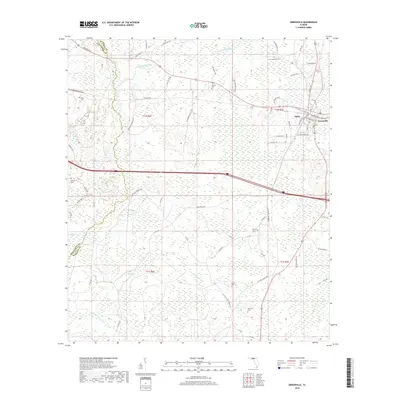
 1979 Perry1980 Print · USGSThe Florida Big Bend and Suwannee River valley are captured here in the late seventies during a period of established timber and rail activity. Genealogists and historians can trace the Live Oak Perry and South Georgia line through Scanlon or locate family roots in Dowling Park and Greenville.2 unique versions available
 - 2012 Map of Greenville NE, 2012 Print
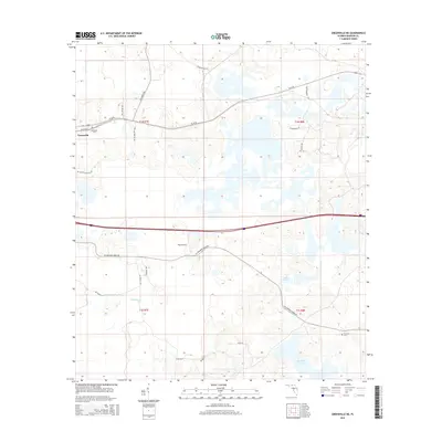
 2012 Greenville NE2012 Print · USGSCovers Greenville, including Madison County, United States, and other nearby areas
 - 2012 Map of Greenville, 2012 Print
 2012 Greenville2012 Print · USGSCovers Greenville, including Stern, Reams, and other nearby areas
 - 2015 Map of Greenville NE, 2015 Print
 2015 Greenville NE2015 Print · USGSCovers Greenville, including Madison County, United States, and other nearby areas
 - 2015 Map of Greenville, 2015 Print
 2015 Greenville2015 Print · USGSCovers Greenville, including Stern, Reams, and other nearby areas
 - 2018 Map of Greenville, 2018 Print
 2018 Greenville2018 Print · USGSCovers Greenville, including Stern, Reams, and other nearby areas
 - 2018 Map of Greenville NE, 2018 Print
 2018 Greenville NE2018 Print · USGSCovers Greenville, including Madison County, United States, and other nearby areas
 - 2021 Map of Greenville, 2021 Print
 2021 Greenville2021 Print · USGSCovers Greenville, including Stern, Reams, and other nearby areas
 - 2021 Map of Greenville NE, 2021 Print
 2021 Greenville NE2021 Print · USGSCovers Greenville, including Madison County, United States, and other nearby areas
 - 2024 Map of Greenville, 2024 Print
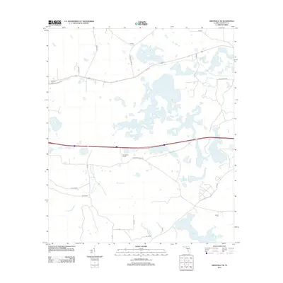
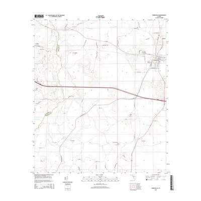
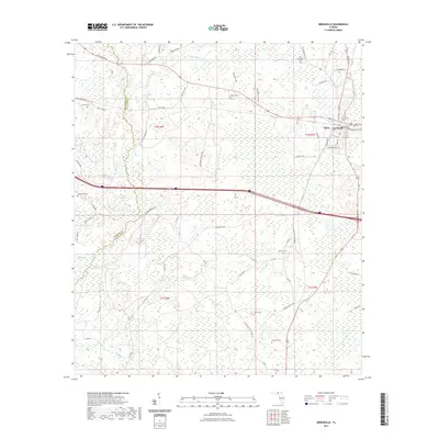
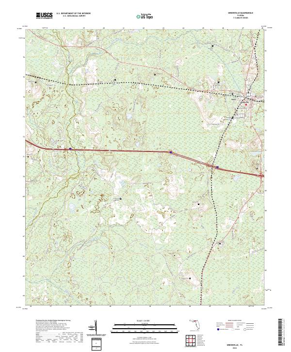 2024 Greenville2024 Print · USGSGreenville and Madison County are documented here in the modern era, showing the intersection of rural life and the local river systems. Genealogists can trace a remarkable number of local burial sites, including Saint Matthews Cem, Andrews Cem, and the New Zion Church.
 - 2024 Map of Greenville NE, 2024 Print
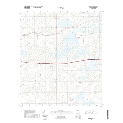
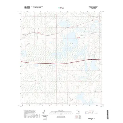
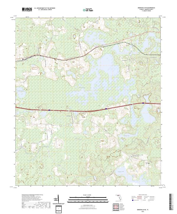 2024 Greenville NE2024 Print · USGSMadison County's wetland landscape is captured in this recent survey, showcasing a rural territory defined by vast swamps and lakes. Researchers can locate Evergreen Cem, Oakland Cem, and the Cross Road Missionary Baptist Church among the reaches of Hixtown Swamp.
End of results
Showing maps 1-16 of 16
Top cities near Greenville
Top neighborhoods of Greenville
Frequently asked questions
- What are the different types of historical maps available for Greenville?
- What is the oldest map of Greenville?
- Where can I purchase historical maps of Greenville for my home or office?
- Where can I download high-res historical maps of Greenville?
- Are there historical topographic maps available for Greenville?
- Is there historical aerial imagery available for Greenville?
- Where are historical maps of Greenville sourced from?