2020s Maps of Greenville, Florida
Explore 4 historic maps of Greenville from the 2020s. These maps offer a rare glimpse into what life looked like during the 2020s — showing old roads, neighborhoods, homes, and landmarks that have changed or disappeared over time.
Whether you're researching your family's past, planning a metal detecting trip, or studying how Greenville's landscape evolved across the 2020s, these high-resolution maps are a powerful tool for exploring the history of this region.
- Focus on a specific era: All maps on this page are from the 2020s, giving you a focused view of this time period.
- See what’s changed: Compare century-old streets, trails, and buildings to today's modern landscape using overlays and satellite layers.
- Research with precision: Use these maps for genealogy, historical research, land use analysis, or educational projects.
- View, download, or print: Maps are fully viewable online in high resolution, and can be downloaded or printed for your own records.
Start exploring Greenville's history through authentic maps from the 2020s. This is your window into the past.
Greenville, FL maps
(4)- 2021 Map of Greenville, 2021 Print
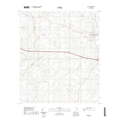 2021 Greenville2021 Print · USGSCovers Greenville, including Stern, Reams, and other nearby areas
 - 2021 Map of Greenville NE, 2021 Print
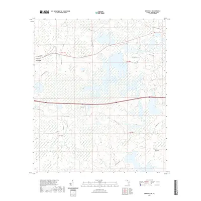 2021 Greenville NE2021 Print · USGSCovers Greenville, including Madison County, United States, and other nearby areas
 - 2024 Map of Greenville, 2024 Print
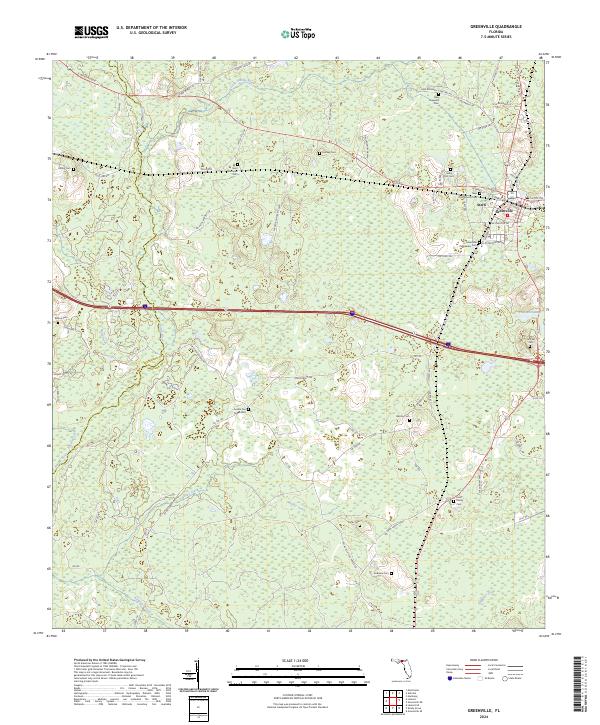 2024 Greenville2024 Print · USGSGreenville and Madison County are documented here in the modern era, showing the intersection of rural life and the local river systems. Genealogists can trace a remarkable number of local burial sites, including Saint Matthews Cem, Andrews Cem, and the New Zion Church.
 - 2024 Map of Greenville NE, 2024 Print
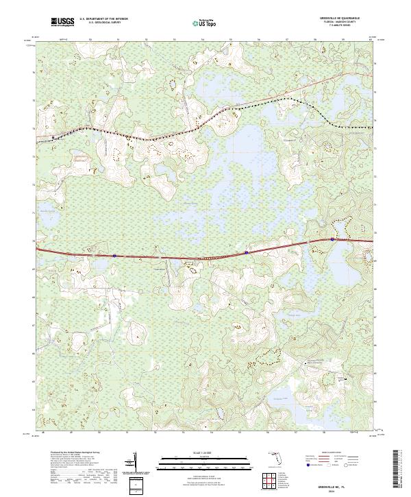 2024 Greenville NE2024 Print · USGSMadison County's wetland landscape is captured in this recent survey, showcasing a rural territory defined by vast swamps and lakes. Researchers can locate Evergreen Cem, Oakland Cem, and the Cross Road Missionary Baptist Church among the reaches of Hixtown Swamp.
End of results
Showing maps 1-4 of 4
Top cities near Greenville
Top neighborhoods of Greenville
Frequently asked questions
- What are the different types of historical maps available for Greenville?
- What is the oldest map of Greenville?
- Where can I purchase historical maps of Greenville for my home or office?
- Where can I download high-res historical maps of Greenville?
- Are there historical topographic maps available for Greenville?
- Is there historical aerial imagery available for Greenville?
- Where are historical maps of Greenville sourced from?