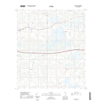
2018 Map of Greenville NE
USGS Topo · Published 2018About this map
The town of Greenville sits at the western edge of this Madison County landscape, where the local road network transitions into the expansive wetlands typical of the Florida panhandle interior. Large hydraulic features dominate the central and southern terrain, including the broad Hixtown Swamp and the waters of Sampala Lake and Indian Lake. This 2018 survey illustrates the rural infrastructure of the region, anchored by the Pratt Airport and a grid of county roads that navigate the marshes. For genealogists and local historians, the map identifies significant burial sites like Evergreen Cem near the town center and the more secluded Oakland Cem to the southeast. The drainage patterns of Sundown Creek and the surrounding Sampala Swamp reveal the natural limitations on settlement in this water-rich environment.
Find a feature on this map
34 named features on this map. Tap any name to fly to it.
Don’t see what you’re looking for? This feature index may not catch every label — zoom into the map to look around manually.
Map Details
Editions of this 2018 Greenville NE Map
This is the sole edition of this map. No revisions or reprints were ever made.
Other maps of this area
1954 · Greenville
USGS Topo · 1:24,000
1954 · Greenville NE
USGS Topo · 1:24,000

1954 · Valdosta
USGS Topo · 1:250,000
1955 · Shady Grove
USGS Topo · 1:24,000
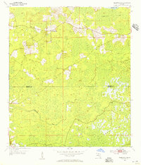
1955 · Greenville SE
USGS Topo · 1:24,000
1958 · Valdosta
USGS Topo · 1:250,000
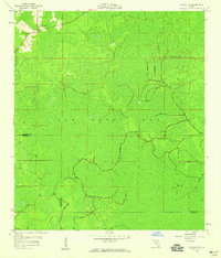
1958 · Madison SW
USGS Topo · 1:24,000
1959 · Valdosta
USGS Topo · 1:250,000
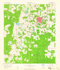
1959 · Madison
USGS Topo · 1:24,000
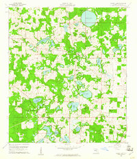
1960 · Cherry Lake
USGS Topo · 1:24,000