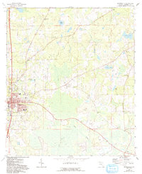
1963 Map of Monticello
USGS Topo · Published 1993About this map
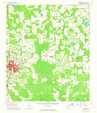
The county seat of Monticello anchors the western edge of this Florida survey, revealing the street grid and local institutions of the early 1960s. The town's educational and social infrastructure is well-defined, from Howard Academy and the County High Sch to the central Courthouse and the Drive-in Theater along the highway. To the east, the landscape transitions into a mosaic of wetlands and small lakes like Hay Pond and Razor Lake, drained by the meandering course of Wolf Creek.
Find a feature on this map
52 named features on this map. Tap any name to fly to it.
Don’t see what you’re looking for? This feature index may not catch every label — zoom into the map to look around manually.
Map Details
Editions of this 1963 Monticello Map
2 editions found
Other maps of this area

1954 · Greenville
USGS Topo · 1:24,000

1954 · Valdosta
USGS Topo · 1:250,000

1955 · Lamont
USGS Topo · 1:24,000

1955 · Waukeenah
USGS Topo · 1:24,000

1956 · Grooverville
USGS Topo · 1:24,000

1956 · Monticello NE
USGS Topo · 1:24,000

1956 · Metcalf
USGS Topo · 1:24,000

1958 · Valdosta
USGS Topo · 1:250,000

1959 · Valdosta
USGS Topo · 1:250,000

1962 · Ashville
USGS Topo · 1:24,000