2024 Map of Dixon East
USGS Topo · Published 2024About this map
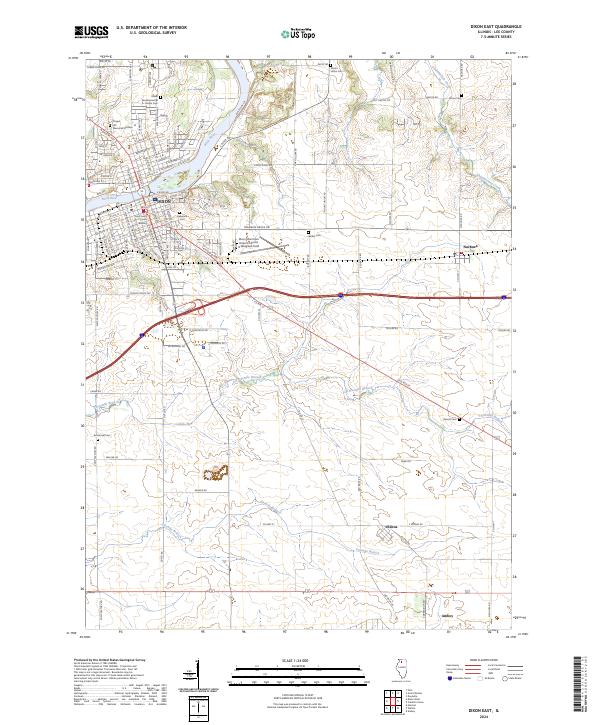
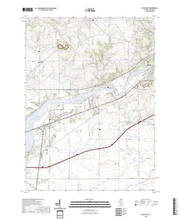
The Ronald Reagan Boyhood Home National Historic Site sits at the heart of this survey, anchoring the historic street grid of Dixon along the banks of the Rock River. This landscape reflects the intersection of civic legacy and transportation development, featuring the Lee County Courts Building and the Dixon Municipal Airport-Charles R Walgreen Field. Outside the primary settlement, the terrain transitions into a mosaic of rural townships and small communities like Nachusa, Eldena, and the northern edge of Amboy.
Find a feature on this map
79 named features on this map. Tap any name to fly to it.
Don’t see what you’re looking for? This feature index may not catch every label — zoom into the map to look around manually.
Map Details
Editions of this 2024 Dixon East Map
This is the sole edition of this map. No revisions or reprints were ever made.
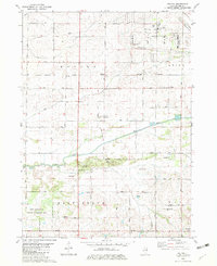
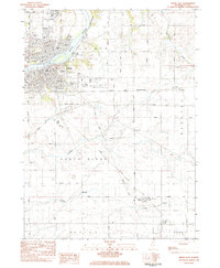
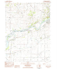
Historical Maps of Eldena Through Time
6 maps found
Featured Locations
- Amboy Township, IL
- Marion Township, IL
- Amboy, Amboy Township
- Nachusa, Nachusa Township
- Dixon, Dixon Township