
1930 Map of Dixville
USGS Topo · Published 1954About this map
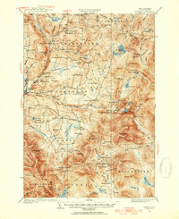
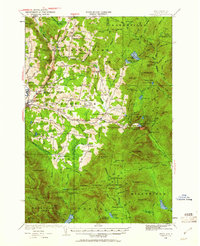
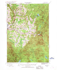
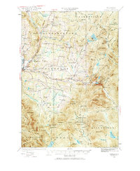
Colebrook serves as a primary hub in this corner of Coos County, situated where the Maine Central railroad tracks meet the Mohawk River. The landscape is a network of small farming and timber communities, evidenced by the high density of rural schoolhouses such as Piper Hill Sch, Harvey Swell Sch, and Mohawk Sch. This 1930s survey captures the area before modern consolidation, showing a decentralized social geography where every few miles supported a local school or church like East Columbia Ch.
Find a feature on this map
112 named features on this map. Tap any name to fly to it.
Don’t see what you’re looking for? This feature index may not catch every label — zoom into the map to look around manually.
Map Details
Editions of this 1930 Dixville Map
5 editions found
Other maps of this area

1920 · Guildhall
USGS Topo · 1:62,500

1925 · Indian Stream
USGS Topo · 1:48,000

1926 · Indian Stream
USGS Topo · 1:62,500

1927 · Indian Stream
USGS Topo · 1:62,500

1927 · Second Lake
USGS Topo · 1:62,500

1929 · Averill
USGS Topo · 1:62,500

1930 · Milan
USGS Topo · 1:62,500

1930 · Percy
USGS Topo · 1:62,500

1930 · Errol
USGS Topo · 1:62,500

1931 · Guildhall
USGS Topo · 1:48,000