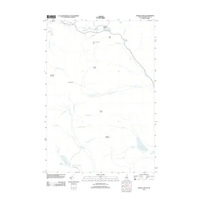
2012 Map of Dixville Notch
USGS Topo · Published 2012About this map
Dixville Notch serves as the focal point of this Northern New Hampshire landscape, where the recreation-focused environment of the Balsams-Wilderness Ski Area meets the high peaks of the White Mountains. The terrain is defined by dramatic geological features such as Table Rock and The Flume, while Lake Gloriette and Farm Pond gather drainage from the surrounding slopes. This area has long been a destination for winter sports and summer tourism, centered around the narrow mountain pass.
Find a feature on this map
43 named features on this map. Tap any name to fly to it.
Don’t see what you’re looking for? This feature index may not catch every label — zoom into the map to look around manually.
Map Details
Editions of this 2012 Dixville Notch Map
This is the sole edition of this map. No revisions or reprints were ever made.
Other maps of this area

1930 · Milan
USGS Topo · 1:62,500

1930 · Percy
USGS Topo · 1:62,500

1930 · Dixville
USGS Topo · 1:62,500

1930 · Errol
USGS Topo · 1:62,500

1933 · Dixville
USGS Topo · 1:62,500

1933 · Milan
USGS Topo · 1:62,500

1934 · Percy
USGS Topo · 1:62,500

1934 · Dixville
USGS Topo · 1:62,500

1934 · Errol
USGS Topo · 1:62,500

1934 · Milan
USGS Topo · 1:62,500