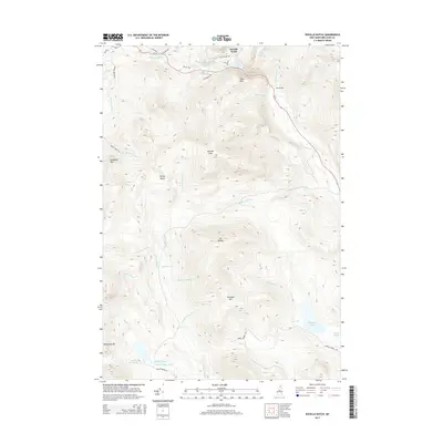
2015 Map of Dixville Notch
USGS Topo · Published 2015About this map
Dixville Notch defines this high-elevation landscape in northern Coos County, where the Mohawk River and Clear Stream drain from the heights of the White Mountains. The terrain is marked by significant geological features including the sheer cliff of Table Rock and the narrow gorge of The Flume. Water is a central element of the topography, with Lake Gloriette and Lake Abeniki situated near the pass, while the more remote Millsfield Pond sits to the southeast.
Find a feature on this map
46 named features on this map. Tap any name to fly to it.
Don’t see what you’re looking for? This feature index may not catch every label — zoom into the map to look around manually.
Map Details
Editions of this 2015 Dixville Notch Map
This is the sole edition of this map. No revisions or reprints were ever made.
Other maps of this area

1930 · Milan
USGS Topo · 1:62,500

1930 · Percy
USGS Topo · 1:62,500

1930 · Dixville
USGS Topo · 1:62,500

1930 · Errol
USGS Topo · 1:62,500

1933 · Dixville
USGS Topo · 1:62,500

1933 · Milan
USGS Topo · 1:62,500

1934 · Percy
USGS Topo · 1:62,500

1934 · Dixville
USGS Topo · 1:62,500

1934 · Errol
USGS Topo · 1:62,500

1934 · Milan
USGS Topo · 1:62,500