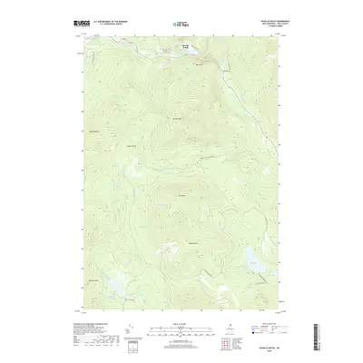
2018 Map of Dixville Notch
USGS Topo · Published 2018About this map
Dixville Notch serves as the focal point of this Northern New Hampshire landscape, where the waters of Lake Gloriette gather below the distinctive precipice of Table Rock. The terrain is defined by a series of prominent summits including Dixville Peak, Mt Kelsey, and Whitcomb Mtn, which separate the various drainage basins of the region. A complex network of watercourses, such as the Mohawk River and Clear Stream, flows through the mountain passes, while smaller features like The Flume and the Devils Washbowl indicate the sharp vertical relief of the area.
Find a feature on this map
47 named features on this map. Tap any name to fly to it.
Don’t see what you’re looking for? This feature index may not catch every label — zoom into the map to look around manually.
Map Details
Editions of this 2018 Dixville Notch Map
This is the sole edition of this map. No revisions or reprints were ever made.
Other maps of this area

1930 · Milan
USGS Topo · 1:62,500

1930 · Percy
USGS Topo · 1:62,500

1930 · Dixville
USGS Topo · 1:62,500

1930 · Errol
USGS Topo · 1:62,500

1933 · Dixville
USGS Topo · 1:62,500

1933 · Milan
USGS Topo · 1:62,500

1934 · Percy
USGS Topo · 1:62,500

1934 · Dixville
USGS Topo · 1:62,500

1934 · Errol
USGS Topo · 1:62,500

1934 · Milan
USGS Topo · 1:62,500