Loading...
Loading map...2022 Map of Dodge Center
USGS Topo · Published 2022About this map
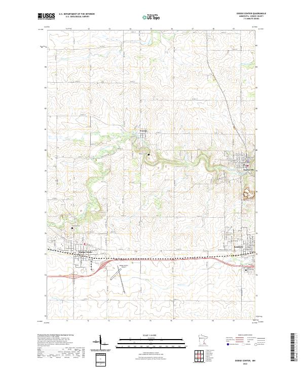
Dodge Center and the neighboring city of Kasson serve as central hubs in this Minnesota landscape, defined by a network of drainage creeks and agricultural corridors. The county seat of Mantorville stands out to the east, anchored by the Dodge County Courthouse. Between these settlements, the terrain is carved by the S Br Middle Fork Zumbro River and Dodge Center Cr, which dictate the placement of early infrastructure like Stage Coach Rd.
Find a feature on this map
55 named features on this map. Tap any name to fly to it.
Don’t see what you’re looking for? This feature index may not catch every label — zoom into the map to look around manually.
Map Details
Date Portrayed2022
Date Published2022
PublisherU.S. Geological Survey
Map TypeTopographic
Scale1:24000
Physical Dimensions24 x 29 inches
Editions of this 2022 Dodge Center Map
This is the sole edition of this map. No revisions or reprints were ever made.
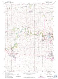
Historical Maps of Kasson Through Time
Featured Locations
Source Details
SourceU.S. Geological Survey
CopyrightPublic Domain