Loading...
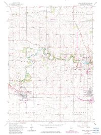
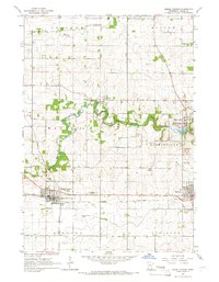
Loading map...1965 Map of Dodge Center
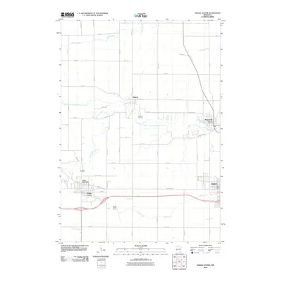
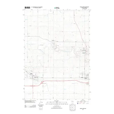
USGS Topo · Published 1983About this map
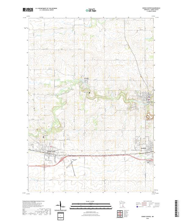
The Chicago and North Western railway corridor dictates the layout of this 1960s agricultural landscape, anchoring the growing hubs of Dodge Center and Kasson. In the north, the South Branch Middle Fork Zumbro River carves a winding path through Mantorville and past the historic stone extraction sites at Quarry and Quarries. This river valley, partially protected by the Richard J Dorer Memorial Hardwood State Forest, contrasts with the flat, surveyed townships of Wasioja and Mantorville.
Find a feature on this map
27 named features on this map. Tap any name to fly to it.
Don’t see what you’re looking for? This feature index may not catch every label — zoom into the map to look around manually.
Map Details
Date Portrayed1965
Date Published1983
PublisherU.S. Geological Survey
Map TypeTopographic
Scale1:24,000
Physical Dimensions21.53 x 27.23 inches
Editions of this 1965 Dodge Center Map
2 editions found
Historical Maps of Kasson Through Time
6 maps found
Featured Locations
Source Details
SourceU.S. Geological Survey
CopyrightPublic Domain