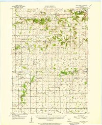
1955 Map of High Forest
USGS Topo · Published 1957About this map
High Forest serves as a central anchor for this mid-1950s rural survey where the rolling farmsteads of Olmsted, Dodge, and Mower counties converge. The landscape is defined by the headwaters of several major drainage systems, including the South Fork Zumbro River and the North Branch Root River, which supported early settlement nodes like Salem Corners and the colorfully named Shanty Town. The map reveals a dense network of local civic life from the era, documented through numerous country schools such as Folkestad Sch and Starkson Sch. Genealogists will find particular value in the placement of religious landmarks like West St Olaf Ch and Evanger Ch, as well as established burial grounds such as Riverside Cem. The northeastern corner transitions toward the developing outskirts of Rochester, marked by Mayowood Lake and the Mayowood terrain.
Find a feature on this map
64 named features on this map. Tap any name to fly to it.
Don’t see what you’re looking for? This feature index may not catch every label — zoom into the map to look around manually.
Map Details
Editions of this 1955 High Forest Map
This is the sole edition of this map. No revisions or reprints were ever made.
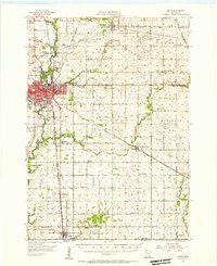
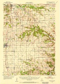
Other maps of this area

1935 · Rochester
USGS Topo · 1:48,000

1939 · Rochester
USGS Topo · 1:62,500

1953 · Saint Paul
USGS Topo · 1:250,000
1954 · Austin
USGS Topo · 1:62,500

1954 · Mason City
USGS Topo · 1:250,000
1955 · Stewartville
USGS Topo · 1:62,500

1957 · Mason City
USGS Topo · 1:250,000

1958 · Mason City
USGS Topo · 1:250,000

1959 · Saint Paul
USGS Topo · 1:250,000

1965 · Dexter
USGS Topo · 1:24,000