2022 Map of Dodge
USGS Topo · Published 2022About this map
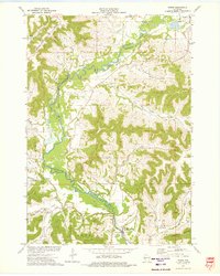
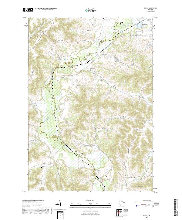
The Trempealeau River meanders through the northwest corner of this Wisconsin borderland, carving a wide valley between Buffalo and Trempealeau counties. This 2022 survey documents the persistent agricultural character of the region, where numerous named valleys, or "coulees," define the local geography. From Meyers Valley in the north to Buehler Valley and Heuer Valley in the south, these landforms have long dictated the placement of homesteads and transport routes like Doelle Valley Rd. The small settlement of Dodge sits near the southern edge, while the southern outskirts of Arcadia are visible in the northeast.
Find a feature on this map
72 named features on this map. Tap any name to fly to it.
Don’t see what you’re looking for? This feature index may not catch every label — zoom into the map to look around manually.
Map Details
Editions of this 2022 Dodge Map
This is the sole edition of this map. No revisions or reprints were ever made.