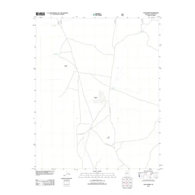
2012 Map of Dog Knobs
USGS Topo · Published 2012About this map
Double Knobs and Dog Knobs stand as the primary landmarks in this high-desert portion of Coconino County, characterized by a complex network of forest corridors. The landscape is defined by its water management strategy for livestock and wildlife, featuring several named catchment basins including Suicide Tank and Tarantula Tank. Between these elevations lies Antelope Flat, a level expanse typical of the region's open rangeland. The presence of F S 320 and various other forest service roads suggests a landscape managed for both utility and access, where these artificial water sources serve as the few fixed points of reference across the arid terrain.
Find a feature on this map
10 named features on this map. Tap any name to fly to it.
Don’t see what you’re looking for? This feature index may not catch every label — zoom into the map to look around manually.
Map Details
Editions of this 2012 Dog Knobs Map
This is the sole edition of this map. No revisions or reprints were ever made.
Other maps of this area

1886 · San Francisco Mtns
USGS Topo · 1:250,000

1886 · Chino
USGS Topo · 1:250,000

1891 · San Francisco Mtns
USGS Topo · 1:250,000

1891 · Chino
USGS Topo · 1:250,000

1894 · San Francisco Mtns
USGS Topo · 1:250,000

1899 · San Francisco Mtns
USGS Topo · 1:250,000

1947 · Flagstaff
USGS Topo · 1:250,000

1948 · Williams
USGS Topo · 1:250,000

1954 · Flagstaff
USGS Topo · 1:250,000

1954 · Williams
USGS Topo · 1:250,000