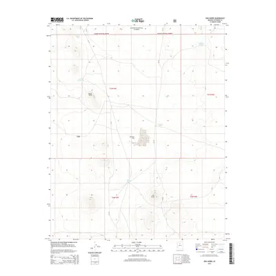
2014 Map of Dog Knobs
USGS Topo · Published 2014About this map
Valle serves as a central point in this high-desert landscape, situated where the open expanse of Antelope Flat meets the rising volcanic topography of the region. The map highlights the essential role of water management in this arid environment, documenting a network of livestock or wildlife catchments such as Suicide Tank, Double Knobs Tank, and Tarantula Tank. These features are critical markers for land use within the Kaibab National Forest, indicating where grazing or wildlife patterns have historically intersected with forest management.
Find a feature on this map
17 named features on this map. Tap any name to fly to it.
Don’t see what you’re looking for? This feature index may not catch every label — zoom into the map to look around manually.
Map Details
Editions of this 2014 Dog Knobs Map
This is the sole edition of this map. No revisions or reprints were ever made.
Other maps of this area

1886 · San Francisco Mtns
USGS Topo · 1:250,000

1886 · Chino
USGS Topo · 1:250,000

1891 · San Francisco Mtns
USGS Topo · 1:250,000

1891 · Chino
USGS Topo · 1:250,000

1894 · San Francisco Mtns
USGS Topo · 1:250,000

1899 · San Francisco Mtns
USGS Topo · 1:250,000

1947 · Flagstaff
USGS Topo · 1:250,000

1948 · Williams
USGS Topo · 1:250,000

1954 · Flagstaff
USGS Topo · 1:250,000

1954 · Williams
USGS Topo · 1:250,000