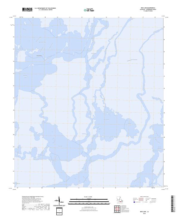
2024 Map of Dog Lake
USGS Topo · Published 2024About this map
Bayou Grand Caillou winds through this low-lying coastal landscape in Terrebonne Parish, illustrating the complex network of waterways that define the Louisiana delta. The area is dominated by expansive water bodies and labyrinthine passes, including Dog Lake and the nearby Caillou Lake. These features reveal a terrain where land and water are constantly shifting, with small landmasses like China Island providing anchor points in a region of salt bays and bayous.
Find a feature on this map
37 named features on this map. Tap any name to fly to it.
Don’t see what you’re looking for? This feature index may not catch every label — zoom into the map to look around manually.
Map Details
Editions of this 2024 Dog Lake Map
This is the sole edition of this map. No revisions or reprints were ever made.
Other maps of this area

1894 · Bayou De Large
USGS Topo · 1:62,500

1894 · Dulac
USGS Topo · 1:62,500

1935 · Cocodrie
USGS Topo · 1:31,680

1935 · Lake Mechant
USGS Topo · 1:31,680

1935 · Lake Quitman
USGS Topo · 1:31,680

1940 · Bayou Du Large
USGS Topo · 1:62,500

1941 · Bayou Du Large
USGS Topo · 1:62,500

1941 · Dulac
USGS Topo · 1:62,500
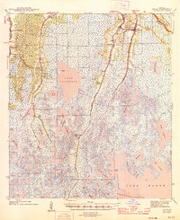
1944 · Dulac
USGS Topo · 1:62,500

1944 · Bayou Du Large
USGS Topo · 1:62,500