2024 Map of Donaldson
USGS Topo · Published 2024About this map
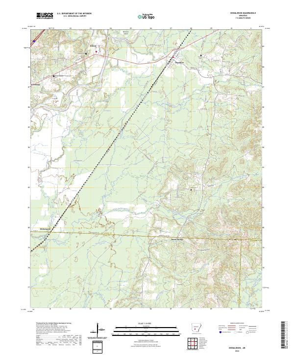
Donaldson and the Quachita River corridor anchor this portrait of the south-central Arkansas landscape, where the flatlands meet the rising topography of the Ouachita foothills. The map reveals a network of small, established communities including Midway, Friendship, and Brown Springs, each connected by a grid of county roads that follow the section lines of the Public Land Survey System. Genealogists will find particular value in the documentation of local burial grounds such as Midway Cem, Mount Pleasant Cem, and Ouachita Cem.
Find a feature on this map
91 named features on this map. Tap any name to fly to it.
Don’t see what you’re looking for? This feature index may not catch every label — zoom into the map to look around manually.
Map Details
Editions of this 2024 Donaldson Map
This is the sole edition of this map. No revisions or reprints were ever made.
