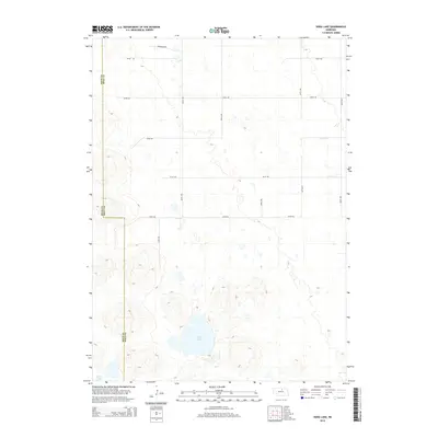
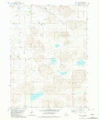
2014 Map of Dora Lake
USGS Topo · Published 2014About this map
Dora Lake serves as the focal point of this rural landscape where the border between Rock County and Holt County is defined by straight section lines rather than natural topography. The terrain is characterized by a sparse network of section roads, including Brookside Rd and 870th Rd, which navigate a complex system of depressions and seasonal water features like Dry Cr. This 2014 survey documents a classic Nebraska Sandhills environment where small bodies of water, such as Frazier Lake, are scattered across a territory mostly devoid of dense settlement. The dominance of the grid system, represented by corridors like 464th Ave and 467th Ave, illustrates the enduring influence of the Public Land Survey System on the modern Nebraska ranching interior.
Find a feature on this map
16 named features on this map. Tap any name to fly to it.
Don’t see what you’re looking for? This feature index may not catch every label — zoom into the map to look around manually.
Map Details
Editions of this 2014 Dora Lake Map
This is the sole edition of this map. No revisions or reprints were ever made.
Other maps of this area
1954 · Stuart
USGS Topo · 1:24,000
1954 · Stuart SE
USGS Topo · 1:24,000
1954 · Newport
USGS Topo · 1:24,000

1955 · O'Neill
USGS Topo · 1:250,000

1959 · O'Neill
USGS Topo · 1:250,000
1969 · O'Neill
USGS Topo · 1:250,000
1982 · Cottonwood Lake
USGS Topo · 1:24,000
1982 · Sybrant
USGS Topo · 1:24,000
1982 · Dora Lake
USGS Topo · 1:24,000
1982 · Pony Lake
USGS Topo · 1:24,000